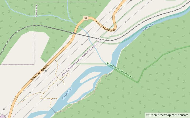
Rutherford Creek, Nairn Falls Provincial Park

Map
Facts and practical information
Rutherford Creek is a tributary of the Green River, British Columbia, Canada, entering that river a few miles above Nairn Falls Provincial Park, near the village of Pemberton. The creek's headwaters are on the eastern side of the Pemberton Icefield, from where it flows southeast for the first half of its course, then generally east for the remainder. It is approximately 24 km in length. The mouth is at 50° 16' 3" N, 122° 57' 41" W. ()
Address
Nairn Falls Provincial Park
ContactAdd
Social media
Add
Day trips
Rutherford Creek – popular in the area (distance from the attraction)
Nearby attractions include: Pemberton Distillery.
