Capital Regional District, Victoria
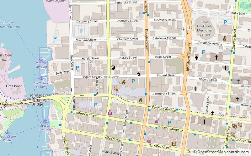
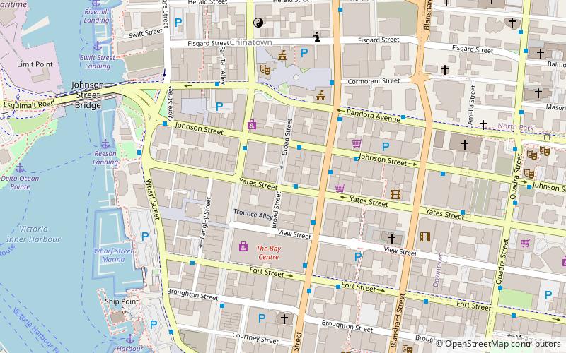
Map
Facts and practical information
The Capital Regional District is a local government administrative district encompassing the southern tip of Vancouver Island and the southern Gulf Islands in the Canadian province of British Columbia. The CRD is one of several regional districts in British Columbia and had an official population of 415,451 as of the Canada 2021 Census. ()
Day trips
Capital Regional District – popular in the area (distance from the attraction)
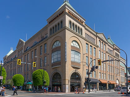
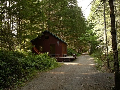
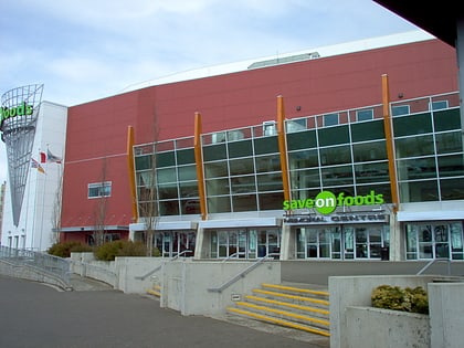
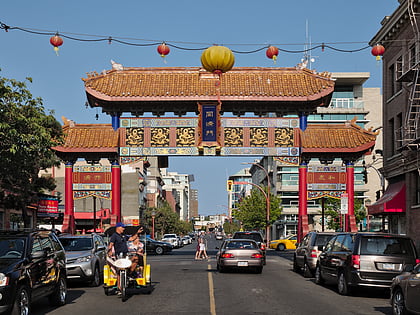
Nearby attractions include: The Bay Centre, Galloping Goose Regional Trail, Save-On-Foods Memorial Centre, Gate of Harmonious Interest.
Frequently Asked Questions (FAQ)
Which popular attractions are close to Capital Regional District?
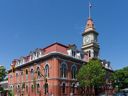
Nearby attractions include Centennial Square, Victoria (2 min walk), Fan Tan Alley, Victoria (2 min walk), Victoria City Hall, Victoria (2 min walk), McPherson Playhouse, Victoria (2 min walk).
How to get to Capital Regional District by public transport?
The nearest stations to Capital Regional District:
Bus
Ferry
Bus
- Douglas at Cormorant • Lines: 11, 21, 22, 30, 31, 4, 50, 70, 72 (3 min walk)
- Pandora at Government • Lines: 14, 15, 24, 25 (3 min walk)
Ferry
- Victoria • Lines: Seattle-Victoria, Victoria - Port Angeles (16 min walk)
