Dufferin Islands, Niagara Falls
Map
Map

Facts and practical information
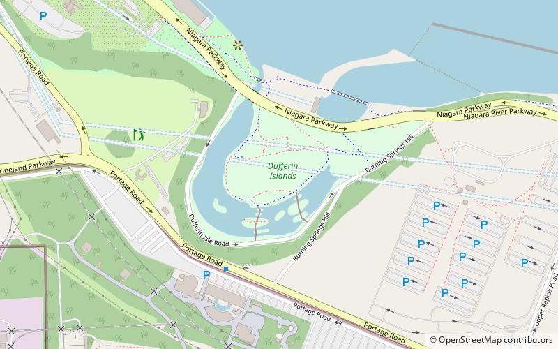
Dufferin Islands are a group of scenic man-made islands located in Niagara Falls, Ontario, approximately 1/2 mile south of the Horseshoe Falls. The islands are known for their quiet seclusion and nature trails. ()
Elevation: 551 ft a.s.l.Coordinates: 43°4'6"N, 79°4'15"W
Day trips
Dufferin Islands – popular in the area (distance from the attraction)
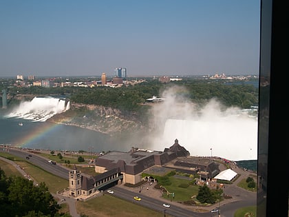
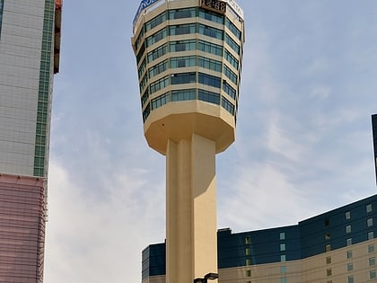
Nearby attractions include: Horseshoe Falls, Skylon Tower, Journey Behind the Falls, Marineland of Canada.
Frequently Asked Questions (FAQ)
Which popular attractions are close to Dufferin Islands?
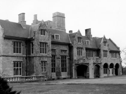
Nearby attractions include Oak Hall, Niagara Falls (4 min walk), Horseshoe Falls, Niagara Falls (17 min walk), Marineland of Canada, Niagara Falls (18 min walk), Mount Carmel Spiritual Centre, Niagara Falls (20 min walk).
How to get to Dufferin Islands by public transport?
The nearest stations to Dufferin Islands:
Bus
Bus
- WEGO - Table Rock Centre Sration (22 min walk)
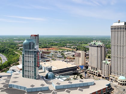
- Fallsview Casino (26 min walk)


