Nelson Park, Vancouver
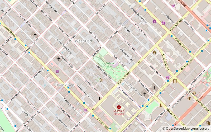
Map
Facts and practical information
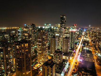
Nelson Park is a park in Vancouver, British Columbia. It was funded by the city charging development fees. Nelson Park is located in Vancouver's West End, and is bounded by Nelson St. Bute St. Comox St. and Thurlow St. ()
Elevation: 151 ft a.s.l.Coordinates: 49°16'58"N, 123°7'48"W
Address
1030 Bute St.West EndVancouver V6E 1Y7
ContactAdd
Social media
Add
Day trips
Nelson Park – popular in the area (distance from the attraction)
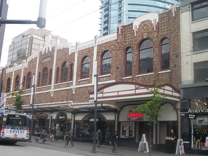
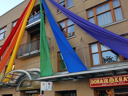
Nearby attractions include: Robson Street, Commodore Ballroom, Celebrities Nightclub, Vancouver Art Gallery.
Frequently Asked Questions (FAQ)
Which popular attractions are close to Nelson Park?
Nearby attractions include West End, Vancouver (4 min walk), St. Andrew's Wesley Church, Vancouver (5 min walk), St. Paul's Anglican Church, Vancouver (5 min walk), First Baptist Church Vancouver, Vancouver (6 min walk).
How to get to Nelson Park by public transport?
The nearest stations to Nelson Park:
Bus
Trolleybus
Metro
Ferry
Train
Bus
- Davie St at Bute St • Lines: 23 (5 min walk)
- Burrard St at Nelson St • Lines: 2 (6 min walk)
Trolleybus
- Davie St at Bute St • Lines: 6 (5 min walk)
Metro
- Vancouver City Centre • Lines: Canada Line (13 min walk)
- Burrard • Lines: Expo Line (14 min walk)
Ferry
- Aquatic Centre Dock • Lines: False Creek Ferries Route 1, False Creek Ferries Route 2 (14 min walk)
- Hornby Terminal • Lines: Aquabus (16 min walk)
Train
- Waterfront (23 min walk)
 SkyTrain