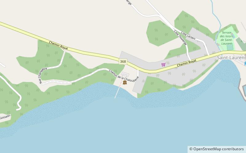
Parc maritime de Saint-Laurent, Île d'Orléans
Map

Map

Facts and practical information
Parc maritime de Saint-Laurent (address: 120, Chemin de la Chalouperie) is a place located in Île d'Orléans (Québec province) and belongs to the category of historical and heritage tours, tours, museum.
It is situated at an altitude of 16 feet, and its geographical coordinates are 46°51'33"N latitude and 71°0'51"W longitude.
Among other places and attractions worth visiting in the area are: Moulin du Petit-Pré, Château-Richer (winery, 145 min walk).
Coordinates: 46°51'33"N, 71°0'51"W
Address
120, Chemin de la ChalouperieÎle d'Orléans G0A 3Z0
Contact
+1 418-828-9673
Social media
Add
Day trips
Parc maritime de Saint-Laurent – popular in the area (distance from the attraction)
Nearby attractions include: Moulin du Petit-Pré.
Frequently Asked Questions (FAQ)
When is Parc maritime de Saint-Laurent open?
Parc maritime de Saint-Laurent is open:
- Monday 10 am - 5 pm
- Tuesday 10 am - 5 pm
- Wednesday 10 am - 5 pm
- Thursday 10 am - 5 pm
- Friday 10 am - 5 pm
- Saturday 10 am - 5 pm
- Sunday 10 am - 5 pm

