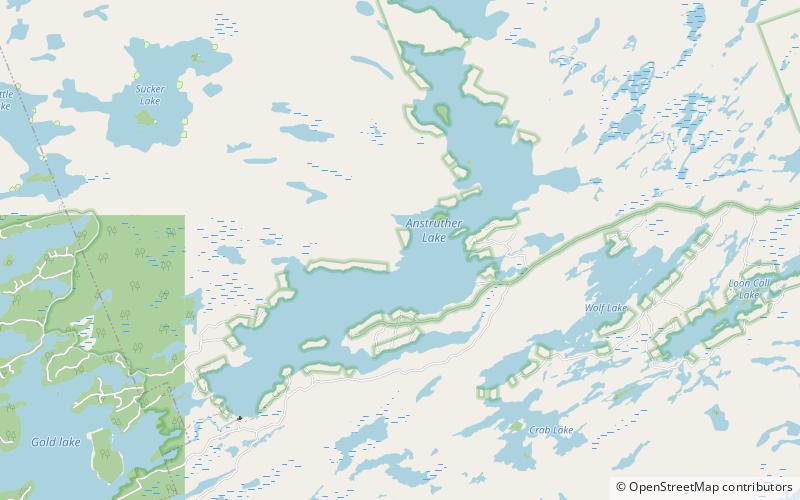
Anstruther Lake, Kawartha Highlands Provincial Park
Map

Map

Facts and practical information
Anstruther Lake is a lake in the municipality of North Kawartha, Peterborough County in Central Ontario, Canada, between the community of Apsley on Ontario Highway 28 8.5 kilometres to the east and the community of Catchacoma on County Road 507 8.5 kilometres to the west. Kawartha Highlands Provincial Park encompasses the lake, and the community of Anstruther Lake is on the southern shore. The lake flows out via Anstruther Creek, and the Mississaugua, Otonabee and Trent rivers into Lake Ontario. ()
Elevation: 994 ft a.s.l.Coordinates: 44°44'45"N, 78°12'47"W
Address
Rural North KawarthaKawartha Highlands Provincial Park
ContactAdd
Social media
Add
