St. Vital Park, Winnipeg
Map
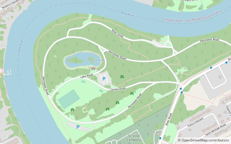
Map

Facts and practical information
St. Vital Park is a 100 acres park in southern Winnipeg, Manitoba, located on a bend of the Red River. In winter months, a skating pond is situated near the pathways which cover the area. St. Vital Park is also a popular area chosen to have events such as weddings and picnics. It is the third largest park in the city. ()
Established: 1929 (97 years ago)Elevation: 748 ft a.s.l.Coordinates: 49°49'44"N, 97°8'29"W
Address
190 River Rd.Saint Vital (Pulberry)Winnipeg
ContactAdd
Social media
Add
Day trips
St. Vital Park – popular in the area (distance from the attraction)
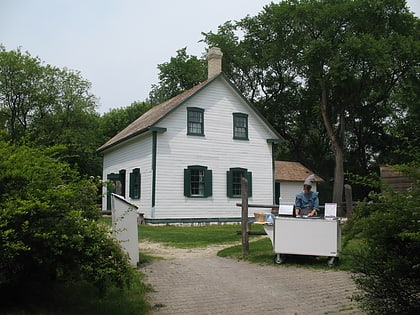
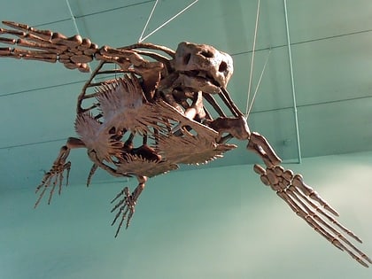
Nearby attractions include: Riel House, Ed Leith Cretaceous Menagerie, Pembina Curling Club, Riel.
Frequently Asked Questions (FAQ)
Which popular attractions are close to St. Vital Park?
Nearby attractions include Riel House, Winnipeg (19 min walk), Riel, Winnipeg (22 min walk).
How to get to St. Vital Park by public transport?
The nearest stations to St. Vital Park:
Bus
Bus
- Southbound River at Kilmarnock South • Lines: 676 (6 min walk)
- Northbound River at St. Michael • Lines: 676 (8 min walk)

