Rendezvous Island South Provincial Park

Map
Facts and practical information
Rendezvous Island South Provincial Park is a provincial park in British Columbia, Canada, located in the Rendezvous Islands in Calm Channel, to the east of the north end of Read Island in the Discovery Islands at the northern end of the Strait of Georgia region. The park contains a total of 164 ha. 113 ha. of it upland, 53 ha. of it foreshore. ()
Elevation: 341 ft a.s.l.Coordinates: 50°15'39"N, 125°1'59"W
Day trips
Rendezvous Island South Provincial Park – popular in the area (distance from the attraction)
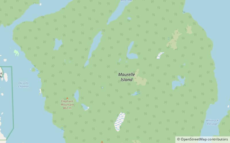
Nearby attractions include: Maurelle Island.
