The Finger, Banff National Park
#151 among attractions in Banff National Park

Facts and practical information
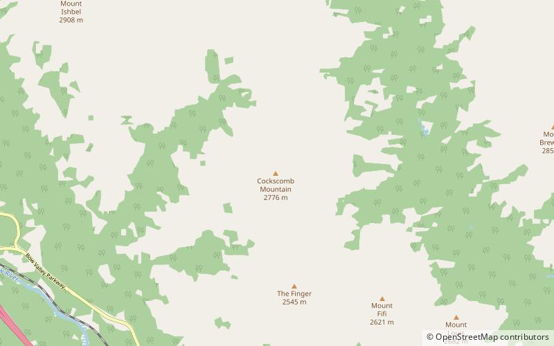
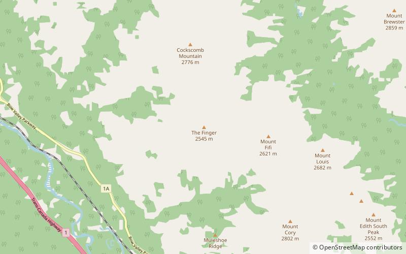
The Finger is a mountain in the Sawback Range of the Canadian Rockies in Alberta, Canada. The name is unofficial as it does not appear in the Canadian Geographical Names Database. ()
Banff National Park Canada
The Finger – popular in the area (distance from the attraction)
Nearby attractions include: Mt Norquay, Vermilion Lakes, Cave and Basin National Historic Site, Mount Louis.
5.4 miEWinter sport, Ski areaMt Norquay, Banff National Park
137 min walk • Mt. Norquay is a mountain and ski resort in Banff National Park, Canada that lies directly northwest of the Town of Banff. The regular ski season starts early December and ends mid-April. Mount Norquay is one of three major ski resorts located in the Banff National Park.
5.8 miSE3 lakes with wildlife and a bike trailVermilion Lakes, Banff National Park
149 min walk • The Vermilion Lakes are a series of lakes located immediately west of Banff, Alberta, in the Canadian Rocky Mountains. The three lakes are formed in the Bow River valley, in the Banff National Park, at the foot of Mount Norquay.
6.6 miSENature, Natural attraction, Historical placeCave and Basin National Historic Site, Banff
169 min walk • The Cave and Basin National Historic Site of Canada is located in the town of Banff, Alberta, within the Canadian Rocky Mountains, at the site of natural thermal mineral springs around which Canada's first national park, Banff National Park, was established.
1.8 miENature, Natural attraction, MountainMount Louis, Banff National Park
45 min walk • Mount Louis is a 2,682-metre mountain summit located in southeast Banff National Park in Alberta, Canada. It is part of the Sawback Range which is a subset of the Canadian Rockies. The mountain was named in 1886 after Louis B.
5.9 miSWNature, Natural attraction, MountainMount Brett, Banff National Park
152 min walk • Mount Brett is a 2,984-metre summit located in the Massive Range of Alberta, Canada It is situated in Banff National Park, 20 kilometres west of Banff townsite, in the Canadian Rockies. Its nearest higher peak is Mount Ball, 12.52 km to the west.
5.1 miSWNature, Natural attraction, MountainPilot Mountain, Banff National Park
130 min walk • Pilot Mountain is a mountain in the Bow River valley of Banff National Park in Alberta, Canada. It is located southeast of Redearth Creek and directly west of the Trans-Canada Highway. The mountain was named in 1884 by George M.
1.9 miSENature, Natural attraction, MountainMount Cory, Banff National Park
48 min walk • Mount Cory is a mountain located in the Bow River Valley in southeast Banff National Park, just north of Banff, Alberta, Canada. The mountain was named in 1923 after William Wallace Cory, deputy minister of the Interior from 1905 to 1930.
3.3 miNENature, Natural attraction, MountainMount Brewster, Banff National Park
84 min walk • Mount Brewster is a 2,859-metre mountain summit located in the Vermilion Range of Banff National Park, in the Canadian Rockies of Alberta, Canada.
4.6 miSENature, Natural attraction, MountainMassive Range, Banff National Park
119 min walk • The Massive Range is a mountain range of the Canadian Rockies, located in the southwestern area of the Bow River valley in Banff National Park, Canada.
1.2 miNNature, Natural attraction, MountainCockscomb Mountain, Banff National Park
32 min walk • Cockscomb Mountain was named in 1921 because the outline of the summit was said to resemble a roosters comb. It is located in the Sawback Range in Alberta. The mountain is composed of sedimentary rock laid down during the Precambrian to Jurassic periods.
2.8 miSENature, Natural attraction, MountainMount Edith, Banff National Park
72 min walk • Mount Edith is a mountain located in the Bow River valley of Banff National Park. Situated in the Sawback Range, it comprises three limestone peaks with the southern peak being the highest followed by the centre and northern peaks respectively.