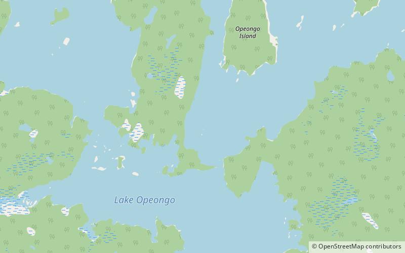
Opeongo Lake, Algonquin Provincial Park
Map

Map

Facts and practical information
Opeongo Lake is a lake in the Saint Lawrence River drainage basin in the geographic townships of Bower, Dickson, Preston and Sproule in the Unorganized South Part of Nipissing District in Northeastern Ontario, Canada. It is the largest lake in Algonquin Provincial Park and the source of the Opeongo River. The lake's name comes from the Algonquian word opeauwingauk meaning "sandy narrows". ()
Area: 20.08 mi²Maximum depth: 162 ftElevation: 1319 ft a.s.l.Coordinates: 45°42'44"N, 78°22'16"W
Address
Algonquin Provincial Park
ContactAdd
Social media
Add
