The Forks, Winnipeg
Map
Gallery
Facts and practical information
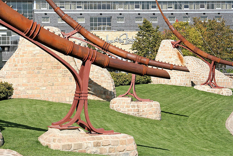
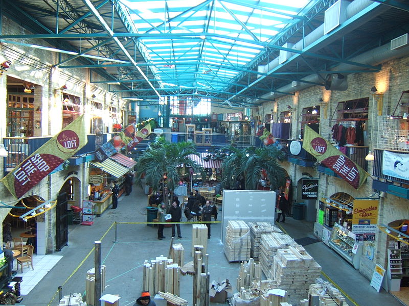
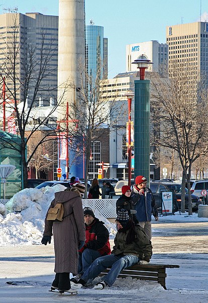
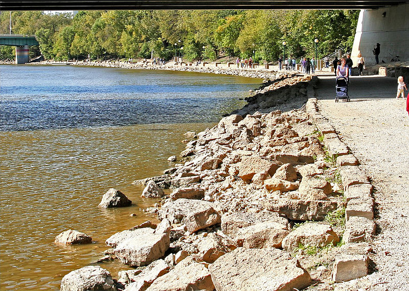
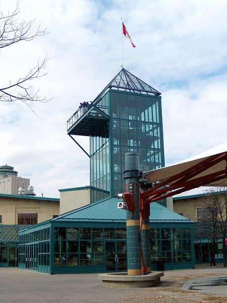
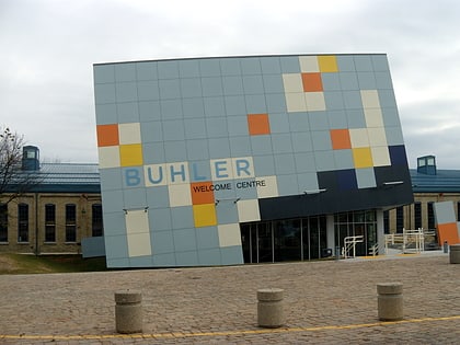
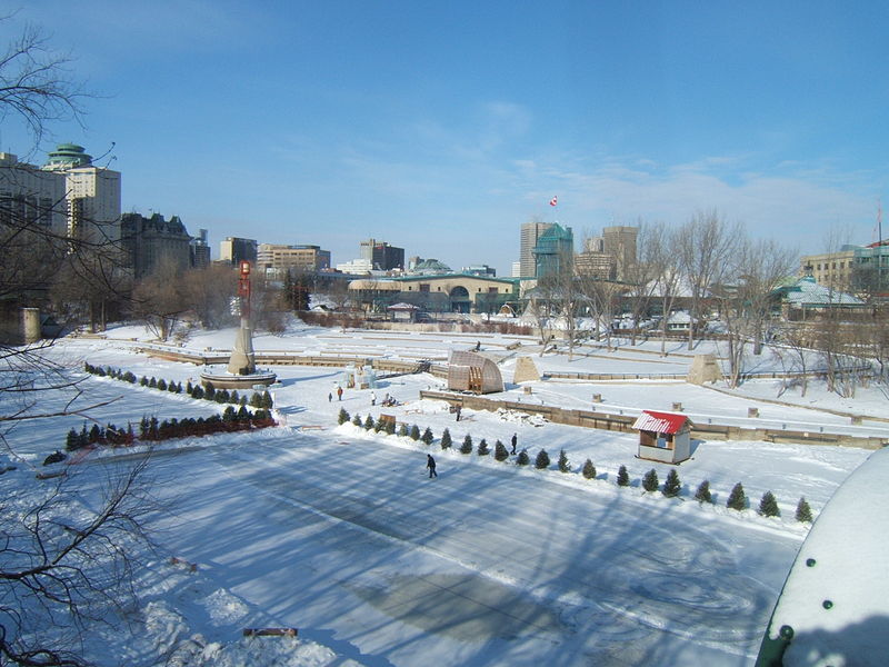
The Forks is a historic site, meeting place, and green space in downtown Winnipeg located at the confluence of the Red River and the Assiniboine River. ()
Coordinates: 49°53'24"N, 97°7'49"W
Address
Central Winnipeg (Downtown Winnipeg)Winnipeg
ContactAdd
Social media
Add
Day trips
The Forks – popular in the area (distance from the attraction)
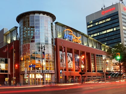
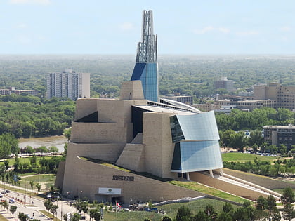
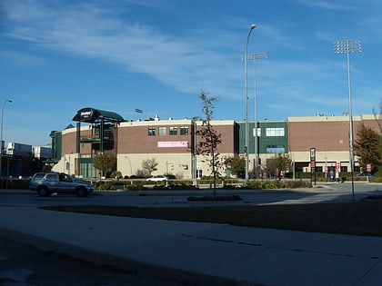
Nearby attractions include: Manitoba Children's Museum, Winnipeg Square, Canada Life Centre, Canadian Museum for Human Rights.
Frequently Asked Questions (FAQ)
Which popular attractions are close to The Forks?
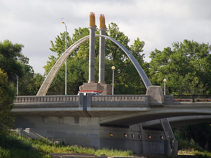
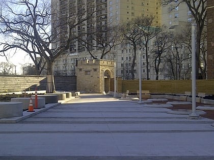
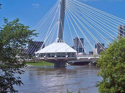
Nearby attractions include Canadian Museum for Human Rights, Winnipeg (2 min walk), Manitoba Theatre for Young People, Winnipeg (4 min walk), Fort Rouge, Winnipeg (4 min walk), Provencher Bridge, Winnipeg (4 min walk).
How to get to The Forks by public transport?
The nearest stations to The Forks:
Bus
Train
Bus
- Northbound Israel Asper at Canadian Museum for Human Rights • Lines: 38 (2 min walk)
- Southbound Israel Asper at William Stephenson • Lines: 38 (4 min walk)
Train
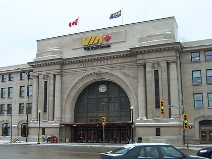
- Winnipeg (5 min walk)


