Fort Vieux Logis
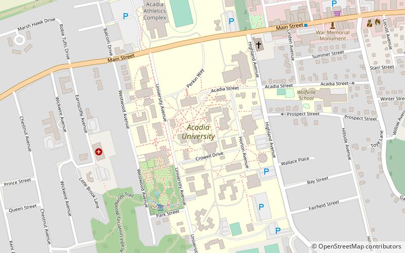
Map
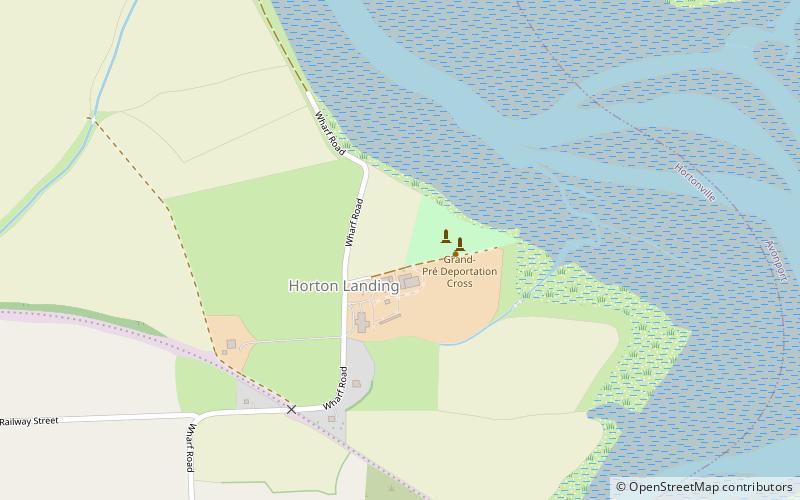
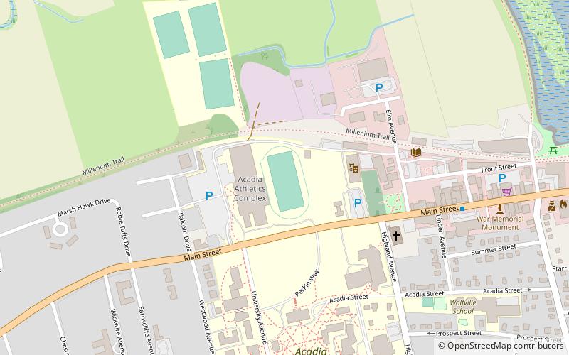
Map

Facts and practical information
Fort Vieux Logis was a small British frontier fort built at present-day Hortonville, Nova Scotia, Canada in 1749, during Father Le Loutre's War. Ranger John Gorham moved a blockhouse he erected in Annapolis Royal in 1744 to the site of Vieux Logis. The fort was in use until 1754. The British rebuilt the fort again during the French and Indian War and named it Fort Montague. ()
Coordinates: 45°6'47"N, 64°16'50"W
Day trips
Fort Vieux Logis – popular in the area (distance from the attraction)
Nearby attractions include: Grand-Pré National Historic Site, Wolfville Historical Society, Prescott House Museum, Blue Beach.
