Kings Peak

Gallery (1)
Map
Map
Facts and practical information
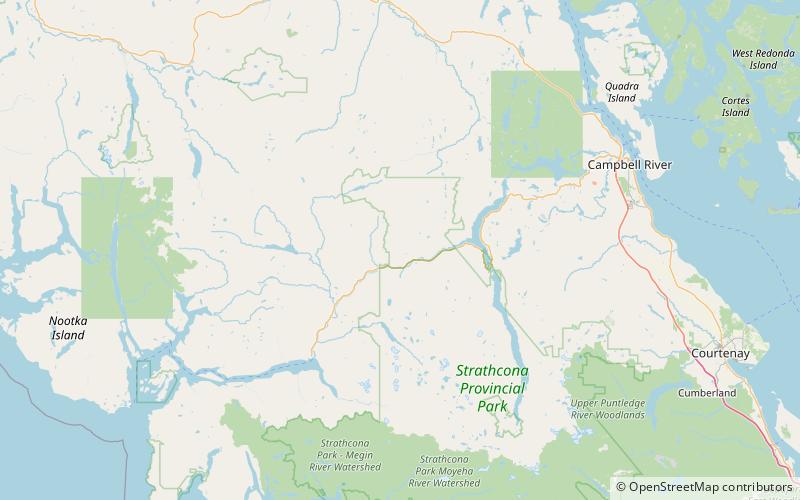
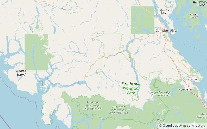
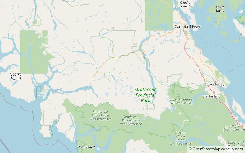
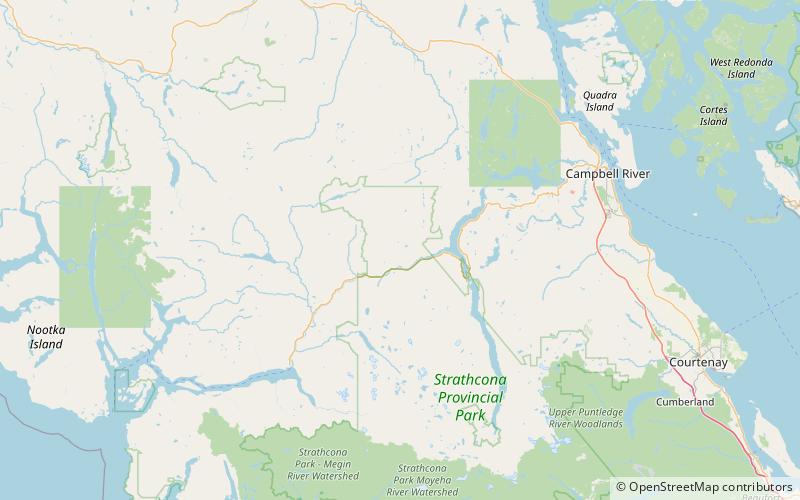
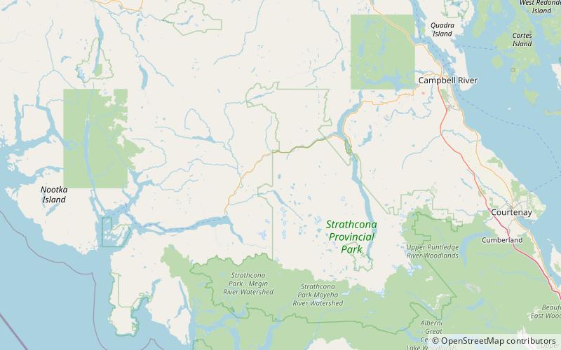
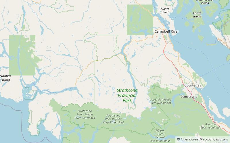
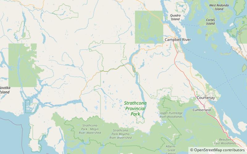
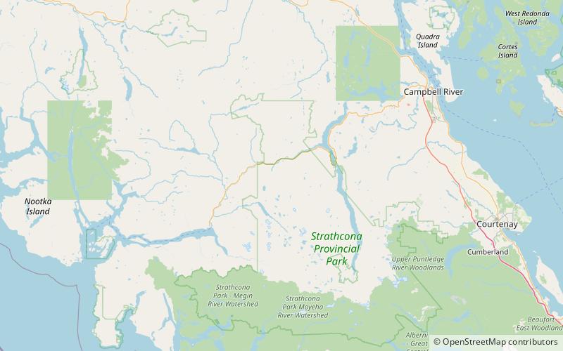
Kings Peak is a mountain located on Vancouver Island in British Columbia, Canada. The mountain is located in Strathcona Provincial Park 25 km northeast of Gold River and 2 km north of Elkhorn Mountain. ()
First ascent: 1913Elevation: 6775 ftProminence: 1076 ftCoordinates: 49°48'39"N, 125°50'13"W
Location
British Columbia
ContactAdd
Social media
Add
Day trips