Camchin, Lytton
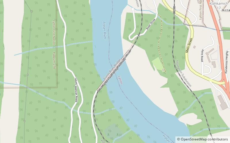
Map
Facts and practical information
Camchin, also spelled Kumsheen, is an anglicization of the ancient name for the locality and aboriginal village once located on the site of today's Village of Lytton, British Columbia, Canada, whose name in the Nlaka'pamux language is ƛ'q'əmcín It also refers to the main Indian reserve community of the Lytton First Nation adjacent to the Village of Lytton and is found in the form Kumsheen in local business and school names. ()
Coordinates: 50°13'60"N, 121°34'1"W
Address
Lytton
ContactAdd
Social media
Add
Day trips
Camchin – popular in the area (distance from the attraction)
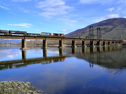
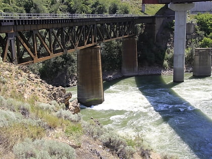
Nearby attractions include: Thompson River, Skihist Provincial Park, Lytton CNR Thompson Bridge, Lytton CNR Fraser Bridge.
Frequently Asked Questions (FAQ)
Which popular attractions are close to Camchin?
Nearby attractions include Lytton CNR Thompson Bridge, Lytton (17 min walk), Thompson River, Lytton (19 min walk).
