Vermilion Range, Banff National Park

Gallery (1)
Map
Map
Facts and practical information
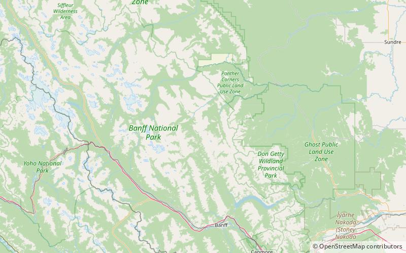
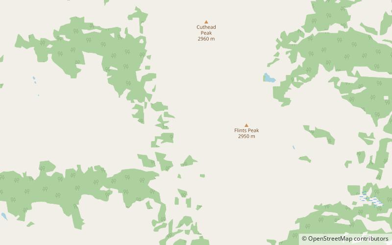
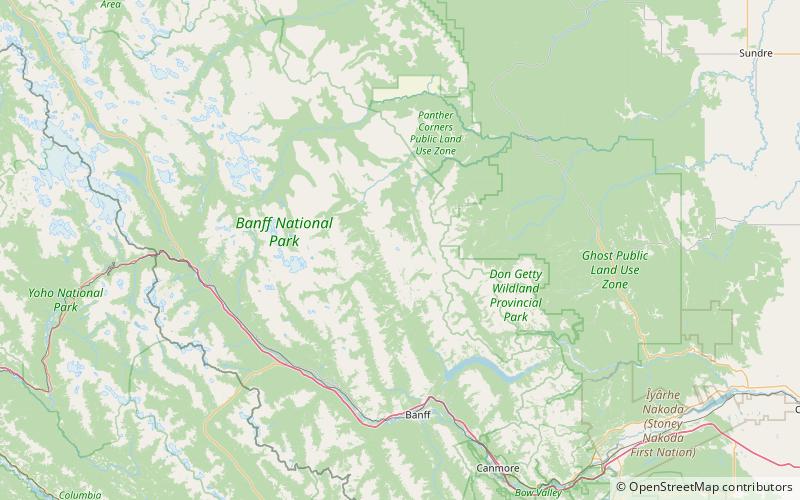
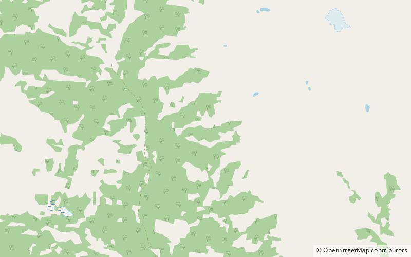
The Vermilion Range is a mountain range of the Canadian Rockies, in Banff National Park, Canada. The range is east of the Sawback Range and west of the Bare and Palliser Ranges. ()
Area: 212.74 mi²Elevation: 9836 ftCoordinates: 51°26'24"N, 115°40'5"W
Address
Banff National Park
ContactAdd
Social media
Add
Day trips