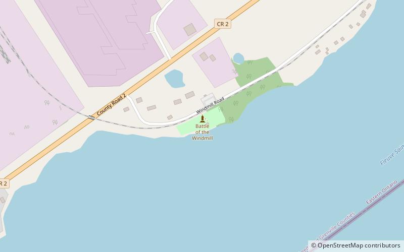
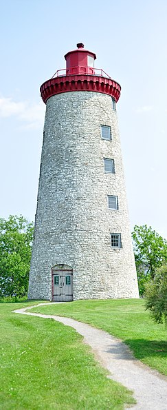
Battle of the Windmill National Historic Site, Prescott

Gallery (3)
Map
Map
Gallery
Facts and practical information
Battle of the Windmill National Historic Site marks the site of the November 1838 Battle of the Windmill, fought around a grist windmill near Prescott, Ontario, Canada. In 1873, the original grist windmill was converted into a lighthouse by the Canadian Department of Marine. The lighthouse became known as Windmill Point Light. ()
Coordinates: 44°43'16"N, 75°29'15"W
Day trips


