Stutfield Peak, Jasper National Park
Map

Map

Facts and practical information
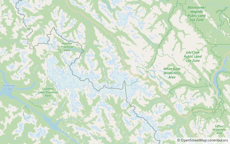
Stutfield Peak is a mountain in Jasper National Park, Alberta, Canada. It is located at the northern end of the Columbia Icefield, 6 kilometres north-west from Mount Kitchener, in the Winston Churchill Range of the Canadian Rockies. The peak has two summits - Stutfield East and Stutfield West - and is therefore sometimes referred to as The Stutfields. The West peak is higher than the East peak by 50 m. ()
Alternative names: First ascent: 1927Elevation: 11319 ftProminence: 951 ftCoordinates: 52°14'19"N, 117°24'29"W
Address
Jasper National Park
ContactAdd
Social media
Add
Day trips
Stutfield Peak – popular in the area (distance from the attraction)
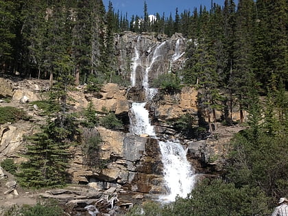
Nearby attractions include: Tangle Falls, Mount Woolley, Snow Dome, Mount Alberta.


