Victoria Provincial Park, Victoria

Map
Facts and practical information
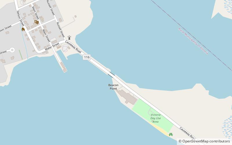
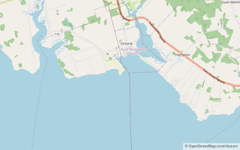
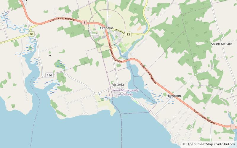
Victoria Provincial Park is a day use park area with a beach located east of Victoria, Prince Edward Island, Canada. Contrary to the name, it is not a provincial park. ()
Elevation: 0 ft a.s.l.Coordinates: 46°12'45"N, 63°29'7"W
Address
Victoria
ContactAdd
Social media
Add
Day trips
Victoria Provincial Park – popular in the area (distance from the attraction)
Nearby attractions include: Brookvale Provincial Park, Victoria Playhouse, Wrights Range Lights, Leards Range Lights.
Frequently Asked Questions (FAQ)
Which popular attractions are close to Victoria Provincial Park?
Nearby attractions include Victoria Playhouse, Victoria (9 min walk), Leards Range Lights, Prince Edward Island (19 min walk), Wrights Range Lights, Victoria (20 min walk).


