Rue Laurier, Gatineau
Map
Facts and practical information
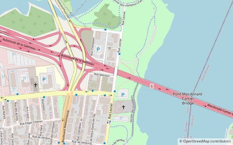
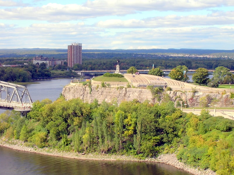
Rue Laurier is a main street located in the heart of the City of Gatineau, Quebec. It starts at Rue Eddy and ends at Rue Dussault. ()
Coordinates: 45°26'18"N, 75°42'30"W
Address
Quartier de l'Oree-du-ParcGatineau
ContactAdd
Social media
Add
Getting there by public transportation
Public transportation stops near this location
- Bus
- Light rail
 Bus
Bus
- Calculate routeSacre Coeur / Laurier 3 min walk
- Calculate routeSacre Coeur / Champlain 5 min walk
- Calculate routeLaurier / De Verdun 7 min walk
- Calculate routeMaisonneuve / Deverdun 9 min walk
- Calculate routeRideau O-Train West/Ouest 30 min walk
Day trips


Frequently Asked Questions (FAQ)
Which popular attractions are close to Rue Laurier?
Nearby attractions include Jacques Cartier Park, Gatineau (2 min walk), Macdonald-Cartier Bridge, Ottawa (7 min walk), Boulevard Maisonneuve, Gatineau (12 min walk), Alexandra Bridge, Gatineau (14 min walk).
How to get to Rue Laurier by public transport?
The nearest stations to Rue Laurier:
Bus
Light rail
Bus
- Sacre Coeur / Laurier • Lines: 63, 66 (3 min walk)
- Sacre Coeur / Champlain • Lines: 63 (5 min walk)
Light rail
- Rideau O-Train West/Ouest • Lines: 1 (30 min walk)