Beaudry Provincial Park
Map

Map

Facts and practical information
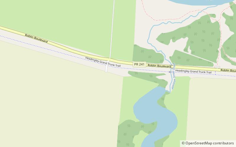
Beaudry Provincial Park is an approximately 953.4-hectare park located along the Assiniboine River west of the town of Headingley, Manitoba. ()
Established: 1974 (52 years ago)Area: 3.68 mi²Coordinates: 49°51'14"N, 97°28'40"W
Location
Manitoba
ContactAdd
Social media
Add
Day trips
Beaudry Provincial Park – popular in the area (distance from the attraction)
Nearby attractions include: Thunder Rapids Fun Park.

