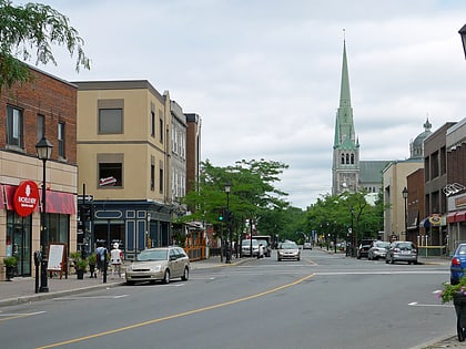
Parc Michel-Chartrand, Longueuil
Map
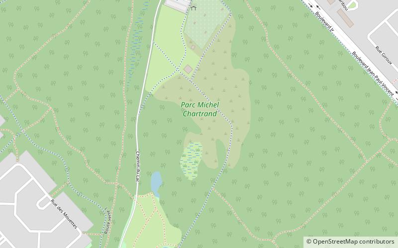
Map

Facts and practical information
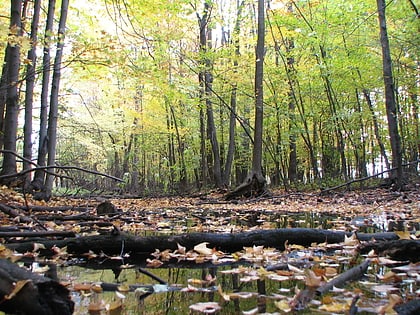
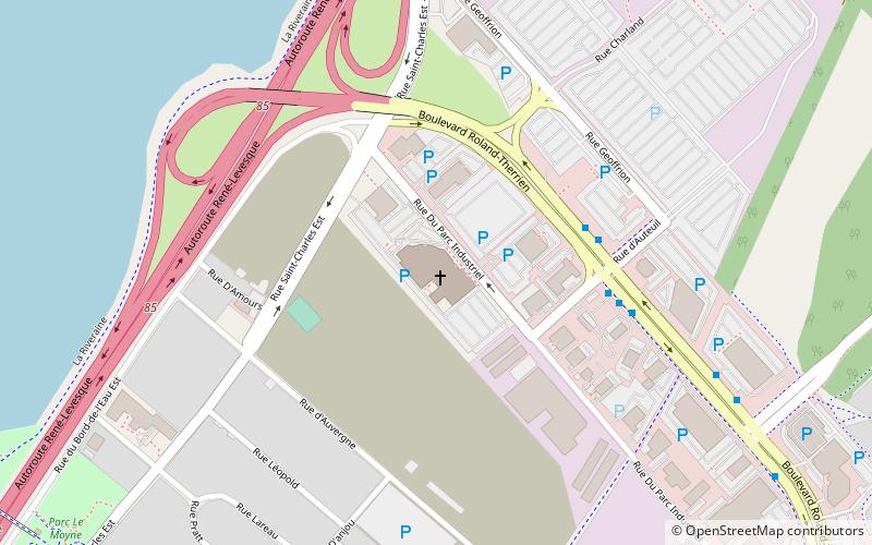
Parc Michel-Chartrand, formerly known as the Parc régional de Longueuil, is a large park located in Longueuil, Quebec, Canada. It is located at 1895 Rue Adoncour in the borough of Le Vieux-Longueuil. ()
Elevation: 82 ft a.s.l.Coordinates: 45°32'59"N, 73°28'9"W
Address
Parc-Michel-ChartrandLongueuil
ContactAdd
Social media
Add
Day trips
Parc Michel-Chartrand – popular in the area (distance from the attraction)
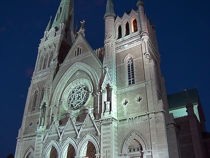
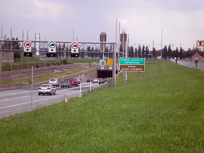
Nearby attractions include: Jacques Cartier Bridge, Église Nouvelle vie, Co-Cathedral of Saint-Antoine-de-Padoue, Place Longueuil.
Frequently Asked Questions (FAQ)
How to get to Parc Michel-Chartrand by public transport?
The nearest stations to Parc Michel-Chartrand:
Bus
Bus
- ch. du Tremblay / face au CFP Pierre-Dupuy • Lines: 330 N, 330 S (24 min walk)
- boul. Roland-Therrien / face à UPA • Lines: 325 N (31 min walk)
