Valois, Island of Montreal

Map
Facts and practical information
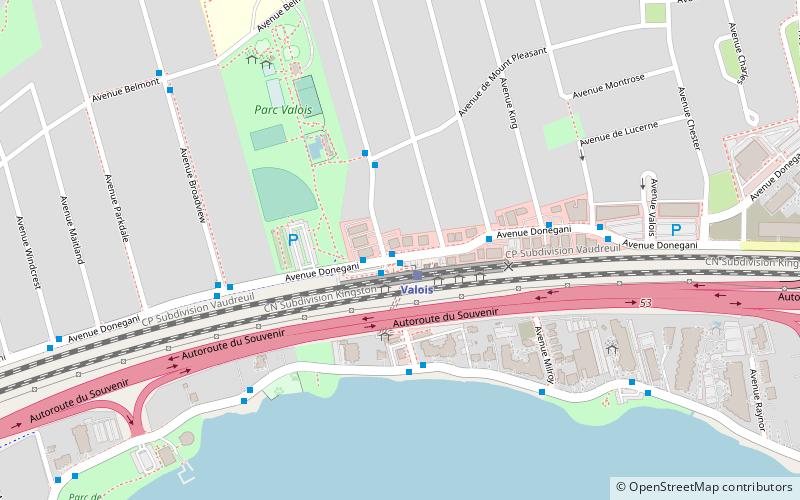
Valois is a neighbourhood in the city of Pointe-Claire, Quebec, Canada. It was once a separate village, many years ago, but was then merged with Pointe-Claire in 1911. ()
Founded: 1723 (303 years ago)Coordinates: 45°27'0"N, 73°47'29"W
Day trips
Valois – popular in the area (distance from the attraction)
Nearby attractions include: Fairview Pointe-Claire, Stewart Hall, Saint-Joachim de Pointe-Claire Church, National Field of Honour.
Frequently Asked Questions (FAQ)
How to get to Valois by public transport?
The nearest stations to Valois:
Bus
Train
Bus
- Gare Valois • Lines: 203-E, 204-E, 204-O (1 min walk)
- Donegani / de la Baie-de-Valois • Lines: 203-O (2 min walk)
Train
- Valois (1 min walk)
- Pointe-Claire (16 min walk)


