The Glebe, Ottawa
Map

Gallery
Facts and practical information
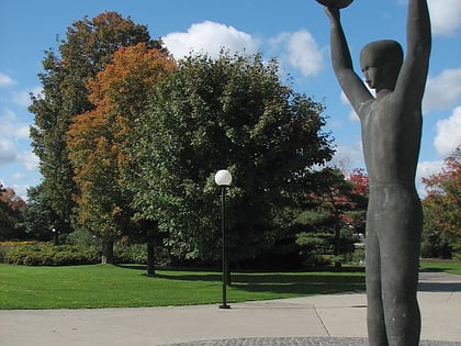
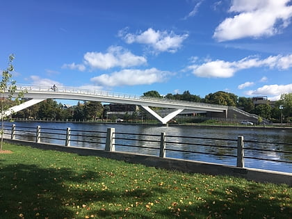
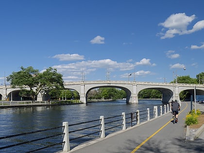
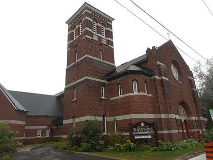
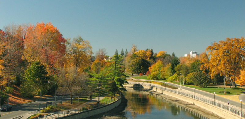
The Glebe is a neighbourhood in Ottawa, Ontario, Canada. It is located just south of Ottawa's downtown area in the Capital Ward. According to the Glebe Community Association, the neighbourhood is bounded on the north by the Queensway, on the east and south by the Rideau Canal and on the west by LeBreton Street South, Carling Avenue and Dow's Lake. As of 2016, this area had a population of 13,055. This area includes the Glebe Annex, an area west of Bronson Avenue that maintains its own neighbourhood association. ()
Address
The GlebeOttawa
ContactAdd
Social media
Add
Day trips
The Glebe – popular in the area (distance from the attraction)
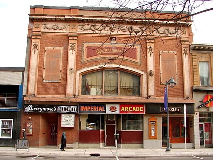
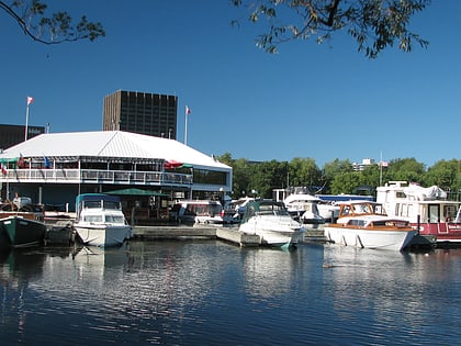
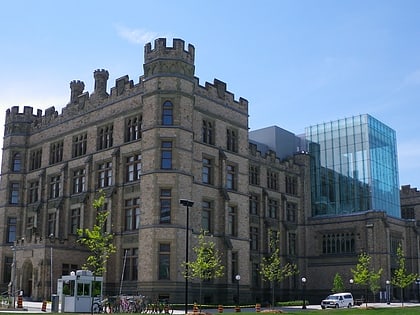
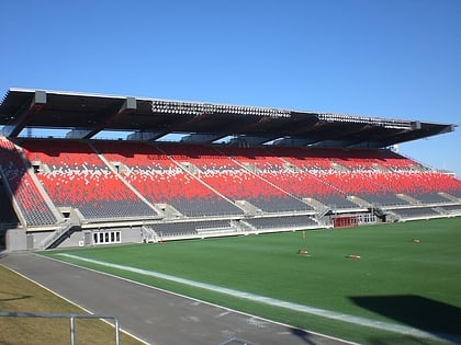
Nearby attractions include: Barrymore's, Dow's Lake, Canadian Museum of Nature, TD Place Stadium.
Frequently Asked Questions (FAQ)
Which popular attractions are close to The Glebe?
Nearby attractions include Glebe Community Centre, Ottawa (3 min walk), Blessed Sacrament Catholic Church, Ottawa (4 min walk), St. Matthew's Anglican Church, Ottawa (5 min walk), St. Giles, Ottawa (6 min walk).
How to get to The Glebe by public transport?
The nearest stations to The Glebe:
Bus
Light rail
Bus
- First / Lyon • Lines: 56 (3 min walk)
- Glebe / Lyon • Lines: 56 (4 min walk)
Light rail
- Lyon A • Lines: 1 (34 min walk)
- Lyon B • Lines: 1 (34 min walk)

