Lake Manitou, Manitoulin Island

Gallery (1)
Map
Map
Facts and practical information
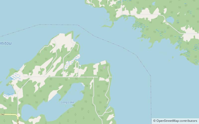
Lake Manitou is the largest lake on Manitoulin Island in Ontario, Canada. With an area of 104 square kilometres, it is the largest lake on a lake island in the world. It is drained by the Manitou River. ()
Alternative names: Area: 40.15 mi²Length: 12.3 miWidth: 3.73 miElevation: 748 ft a.s.l.Coordinates: 45°46'22"N, 81°59'56"W
Address
Manitoulin Island
ContactAdd
Social media
Add