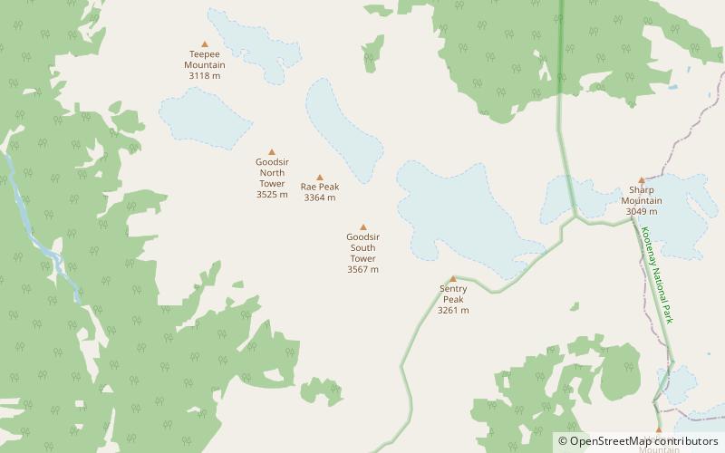
Mount Goodsir, Yoho National Park

Map
Facts and practical information
Mount Goodsir is the highest mountain in the Ottertail Range, a subrange of the Park Ranges in British Columbia. It is located in Yoho National Park, near its border with Kootenay National Park. The mountain has two major summits, the South Tower and the North Tower, 3,525 metres. ()
Alternative names: First ascent: 1903Elevation: 11703 ftProminence: 6191 ftCoordinates: 51°12'7"N, 116°23'53"W
Address
Yoho National Park
ContactAdd
Social media
Add
Day trips
Mount Goodsir – popular in the area (distance from the attraction)
Nearby attractions include: Helmet Falls, Chancellor Peak.

