Columbia Lake
Map

Gallery

Facts and practical information
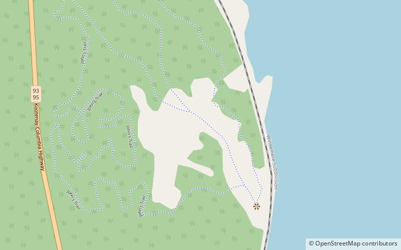
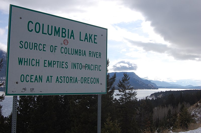
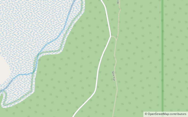
Columbia Lake is the primary lake at the headwaters of the Columbia River, in British Columbia, Canada. It is fed by several small tributaries. The village of Canal Flats is located at the south end of the lake. ()
Alternative names: Length: 8.39 miWidth: 6562 ftMaximum depth: 17 ftElevation: 2779 ft a.s.l.Coordinates: 50°13'60"N, 115°52'1"W
Location
British Columbia
ContactAdd
Social media
Add
Day trips
Columbia Lake – popular in the area (distance from the attraction)
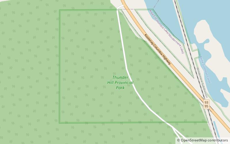
Nearby attractions include: Thunder Hill Provincial Park, Columbia Lake Provincial Park.


