Signal Hill, Victoria
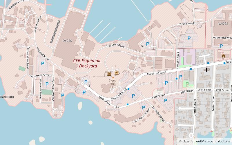
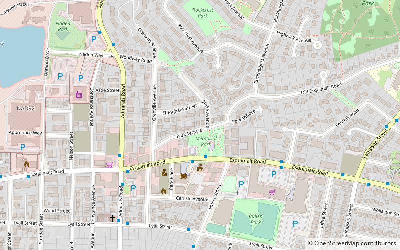
Map
Facts and practical information
Coordinates: 48°25'45"N, 123°25'44"W
Address
EsquimaltVictoria
ContactAdd
Social media
Add
Day trips
Signal Hill – popular in the area (distance from the attraction)
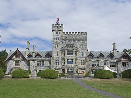
Nearby attractions include: Hatley Castle, Galloping Goose Regional Trail, Fisgard Lighthouse, Johnson Street Bridge.
Frequently Asked Questions (FAQ)
Which popular attractions are close to Signal Hill?
Nearby attractions include Esquimalt, Victoria (19 min walk), Fisgard Lighthouse, Victoria (23 min walk).
How to get to Signal Hill by public transport?
The nearest stations to Signal Hill:
Bus
Train
Bus
- Esquimalt at Lyall • Lines: 15, 26, 46 (2 min walk)
- HMC Dockyard • Lines: 15, 26, 46 (3 min walk)
Train
- Esquimalt (19 min walk)
