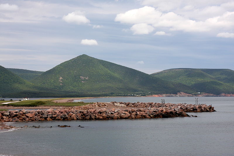
Wilkie Sugar Loaf

Gallery (2)
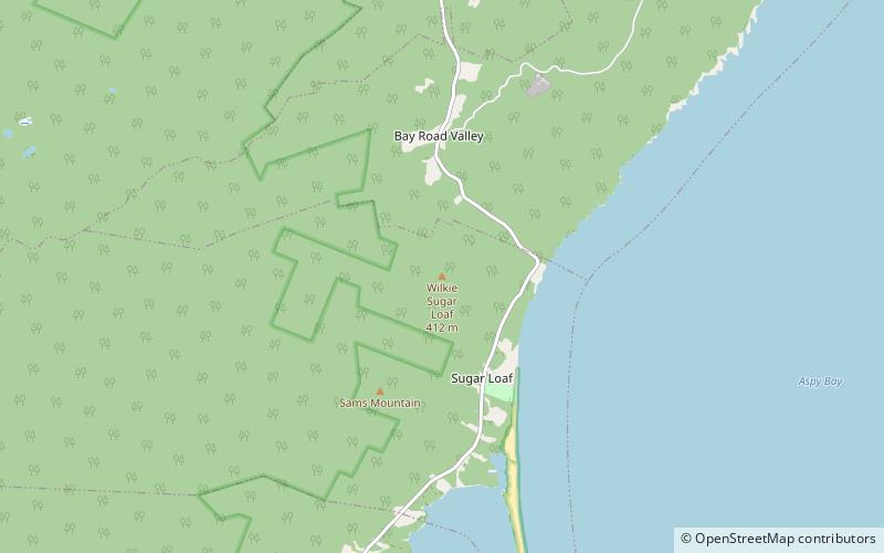
Map
Map
Gallery
Facts and practical information
Wilkie Sugar Loaf is a Canadian peak in the Cape Breton Highlands near the community of Sugar Loaf in the province of Nova Scotia. ()
Elevation: 1351 ftProminence: 722 ftCoordinates: 46°57'17"N, 60°28'24"W
Location
Nova Scotia
ContactAdd
Social media
Add
Day trips


