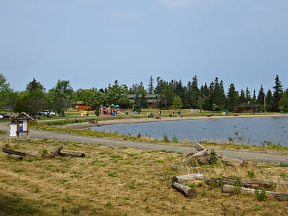
Mount McKay
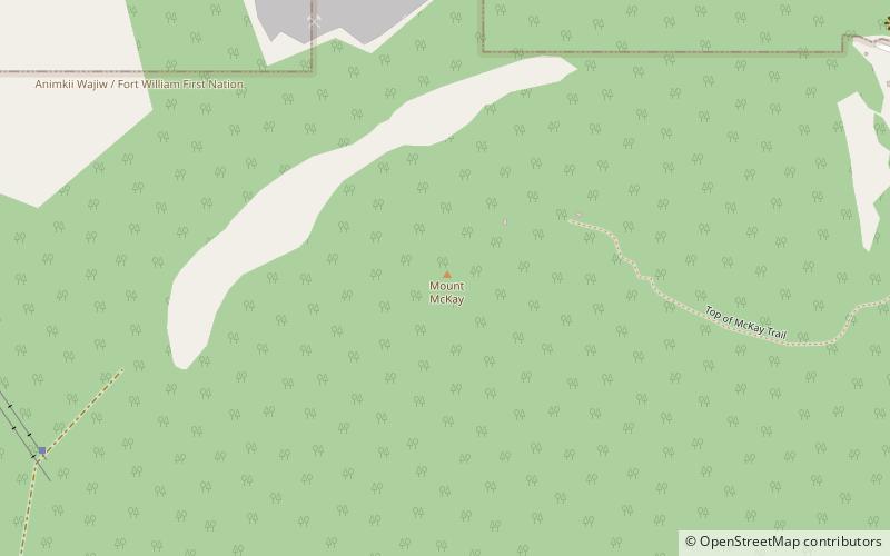
Map
Map

Facts and practical information
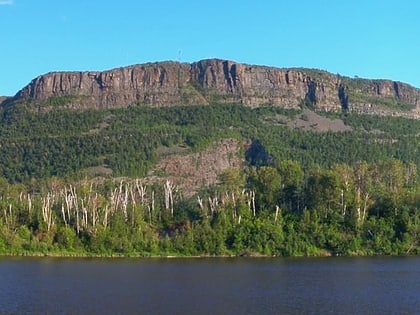
Mount McKay is a mafic sill located south of Thunder Bay, Ontario, Canada, on the Indian reserve of the Fort William First Nation. It is the highest, most northern and best known of the Nor'Wester Mountains. It formed during a period of magmatic activity associated with the large Midcontinent Rift System about 1,100 million years ago. ()
Elevation: 1585 ftCoordinates: 48°20'38"N, 89°17'18"W
Location
Ontario
ContactAdd
Social media
Add
Day trips
Mount McKay – popular in the area (distance from the attraction)
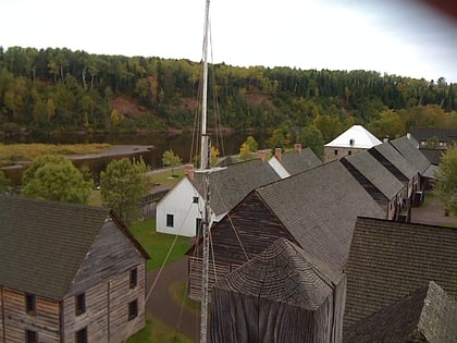
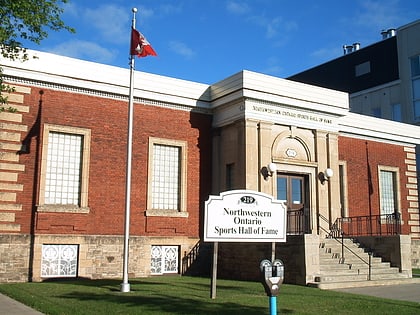
Nearby attractions include: Intercity Shopping Centre, Fort William Historical Park, Northwestern Ontario Sports Hall of Fame, Thunder Bay Museum.
