Point Ellice Bridge disaster, Victoria
Map

Map

Facts and practical information
On May 26, 1896 in Victoria, British Columbia, a streetcar crowded with 143 holidaymakers on their way to attend celebrations of Queen Victoria's birthday crashed through Point Ellice Bridge into the Upper Harbour. 55 men, women, and children were killed in the accident, making it one of the worst transit disasters in British Columbia. Only passengers on the left side of the streetcar escaped. ()
Coordinates: 48°26'3"N, 123°22'41"W
Address
BurnsideVictoria
ContactAdd
Social media
Add
Day trips
Point Ellice Bridge disaster – popular in the area (distance from the attraction)
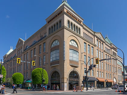
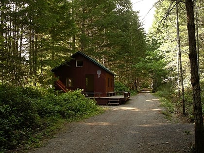
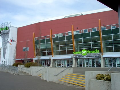
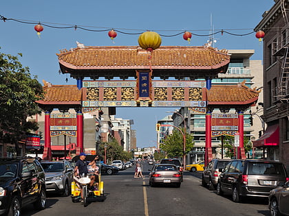
Nearby attractions include: The Bay Centre, Galloping Goose Regional Trail, Save-On-Foods Memorial Centre, Gate of Harmonious Interest.
Frequently Asked Questions (FAQ)
Which popular attractions are close to Point Ellice Bridge disaster?
Nearby attractions include Point Ellice House and Gardens, Victoria (5 min walk), Victoria West, Victoria (11 min walk), Victoria City, Victoria (13 min walk), Johnson Street Bridge, Victoria (15 min walk).
How to get to Point Ellice Bridge disaster by public transport?
The nearest stations to Point Ellice Bridge disaster:
Bus
Ferry
Bus
- Bay at Turner • Lines: 10 (4 min walk)
- Tyee at Bay • Lines: 14 (4 min walk)
Ferry
- Victoria • Lines: Seattle-Victoria, Victoria - Port Angeles (24 min walk)

