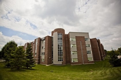
Mackenzie King Village, Waterloo

Facts and practical information
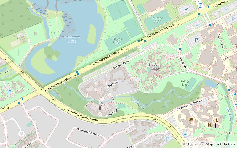
Mackenzie King Village is a place located in Waterloo (Ontario province) and belongs to the category of sightseeing.
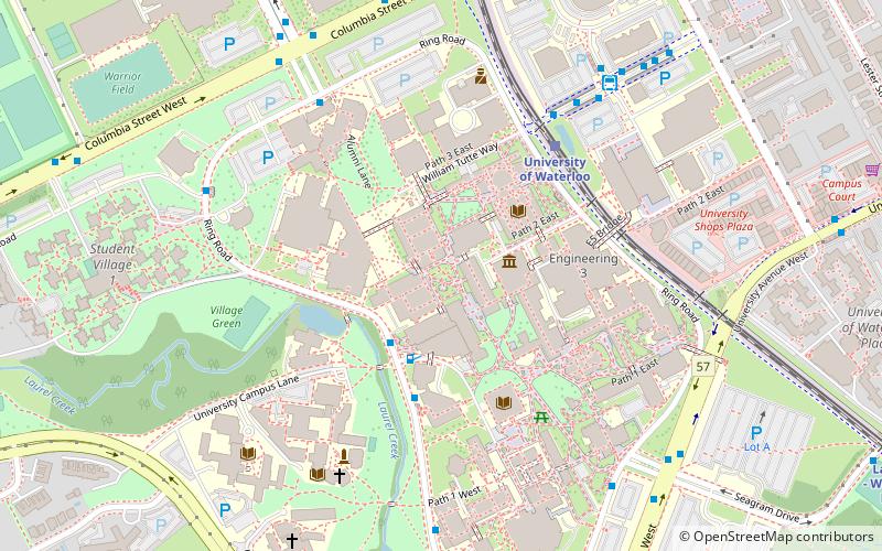
It is situated at an altitude of 1102 feet, and its geographical coordinates are 43°28'17"N latitude and 80°33'9"W longitude.
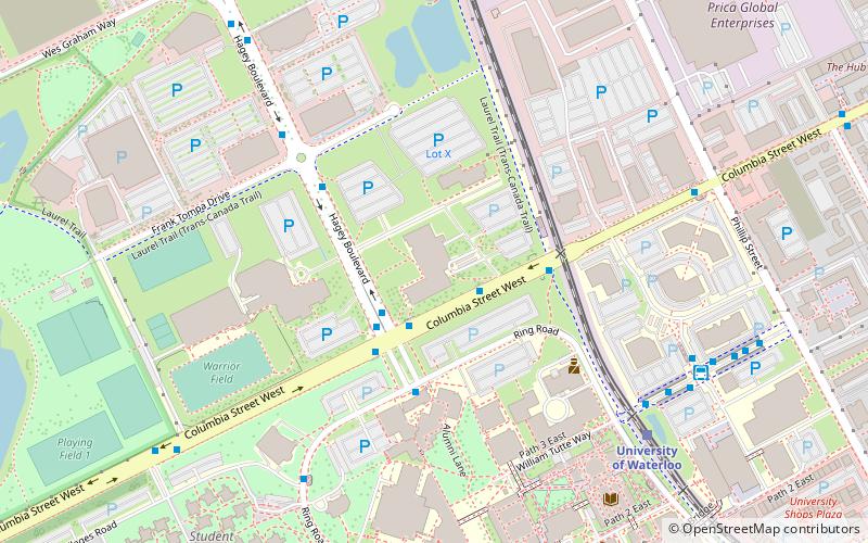
Planning a visit to this place, one can easily and conveniently get there by public transportation. Mackenzie King Village is a short distance from the following public transport stations: Columbia / Village 1 (bus, 4 min walk), University of Waterloo (light rail, 15 min walk).
Among other places and attractions worth visiting in the area are: Warrior Field (sport, 7 min walk), Brubacher House (museum, 8 min walk), Renison University College (universities and schools, 8 min walk).
Downtown WaterlooWaterloo
Mackenzie King Village – popular in the area (distance from the attraction)
Nearby attractions include: Waterloo Park, Brubacher House, University of Waterloo Faculty of Mathematics, Quantum Nano Quad.
Frequently Asked Questions (FAQ)
Which popular attractions are close to Mackenzie King Village?
How to get to Mackenzie King Village by public transport?
Bus
- Columbia / Village 1 • Lines: 13 (4 min walk)
- Ring Rd. / U.W. - University Club • Lines: 30 (7 min walk)
Light rail
- University of Waterloo • Lines: 301 (15 min walk)
- Research and Technology • Lines: 301 (20 min walk)
