Niagara Clifton Bridge, Niagara Falls
Map

Map

Facts and practical information
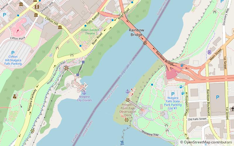
The Niagara Clifton Bridge, also known as the first Falls View Suspension Bridge, was a suspension bridge over the Niagara River between Niagara Falls, New York and Clifton, Ontario. It was designed by Samuel Keefer, with construction starting in 1867. It was officially opened for traffic on January 2, 1869 and was destroyed in a storm on the night of January 9, 1889. ()
Opened: 1869 (157 years ago)Length: 1268 ftWidth: 10 ftHeight: 100 ftCoordinates: 43°5'19"N, 79°4'11"W
Address
Niagara Falls
ContactAdd
Social media
Add
Day trips
Niagara Clifton Bridge – popular in the area (distance from the attraction)
Nearby attractions include: Horseshoe Falls, Skylon Tower, Journey Behind the Falls, Clifton Hill.
Frequently Asked Questions (FAQ)
Which popular attractions are close to Niagara Clifton Bridge?
Nearby attractions include Honeymoon Bridge, Niagara Falls (4 min walk), Hornblower Niagara Cruises, Niagara Falls (4 min walk), Rainbow Bridge, Niagara Falls (6 min walk), Rainbow Tower, Niagara Falls (7 min walk).
How to get to Niagara Clifton Bridge by public transport?
The nearest stations to Niagara Clifton Bridge:
Bus
Bus
- Fallsview Casino (20 min walk)
- WEGO - Table Rock Centre Sration (23 min walk)


