Omega Peak, Jasper National Park

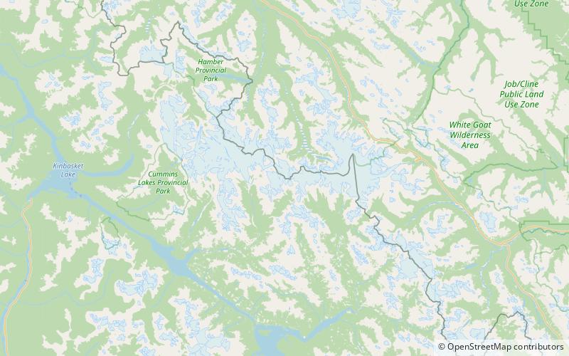
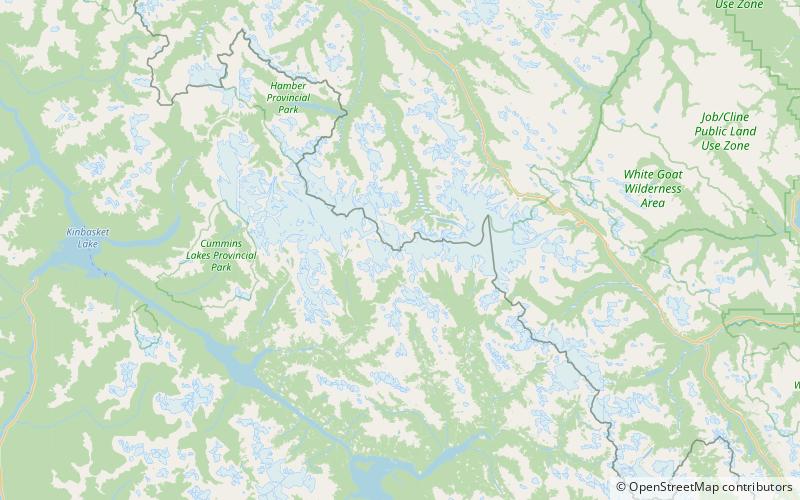
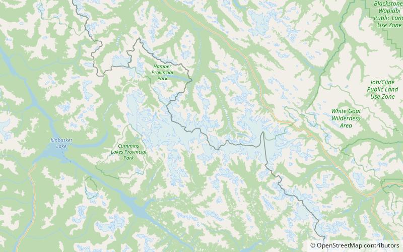
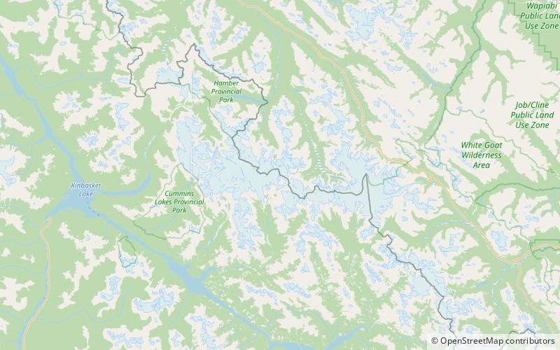
Map
Facts and practical information
Omega Peak is located on the border of Alberta and British Columbia, between the head of the Sullivan River and Columbia Icefield. It was named in 1939 because it was the last unclimbed peak over 10,000 ft between the Thompson and Yellowhead Passes. ()
Elevation: 10223 ftProminence: 971 ftCoordinates: 52°7'47"N, 117°34'48"W
Address
Jasper National Park
ContactAdd
Social media
Add
Day trips
Omega Peak – popular in the area (distance from the attraction)
Nearby attractions include: Mount King Edward, Triad Peak, Chaba Peak, Wales Peak.


