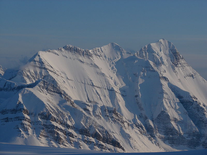
Mount Bryce

Gallery (2)
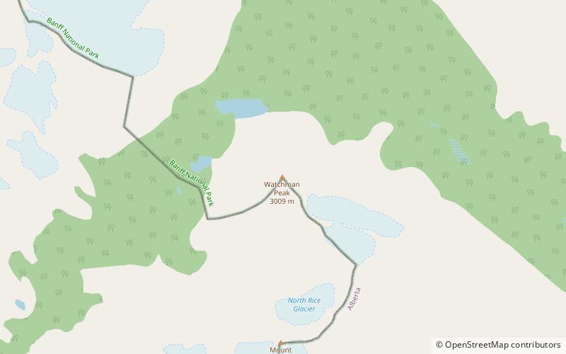
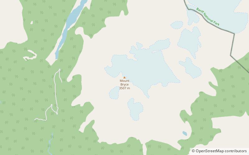
Map
Map
Gallery
Facts and practical information
Mount Bryce is a mountain at the southwestern corner of the Columbia Icefield, in British Columbia, Canada, near the border with Alberta. It can be seen from the Icefields Parkway. ()
Alternative names: First ascent: 1902Elevation: 11506 ftProminence: 2320 ftCoordinates: 52°2'28"N, 117°19'48"W
Location
British Columbia
ContactAdd
Social media
Add
Day trips