'Ksan
Map

Map

Facts and practical information
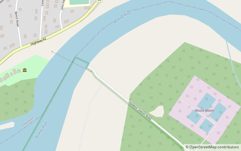
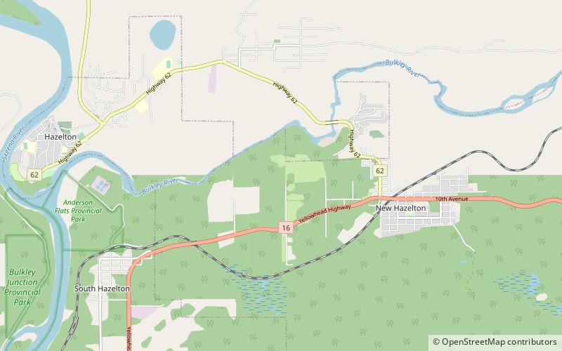
ʼKsan is a historical village and living museum of the Gitxsan Indigenous people in the Skeena Country of Northwestern British Columbia, Canada. ʼKsan is located near Hazelton at the confluence of the Skeena and Bulkley Rivers on Gitxsan territory. ()
Coordinates: 55°15'0"N, 127°40'1"W
Day trips
'Ksan – popular in the area (distance from the attraction)
Nearby attractions include: Hagwilget Canyon Bridge, Hagwilget Canyon.


