Tour des Canadiens, Montreal
Map
Gallery
Facts and practical information
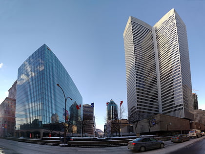
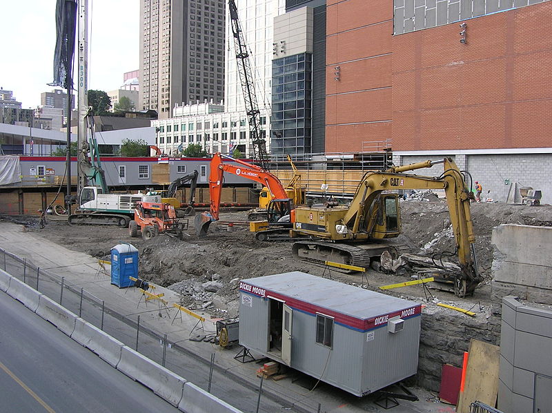
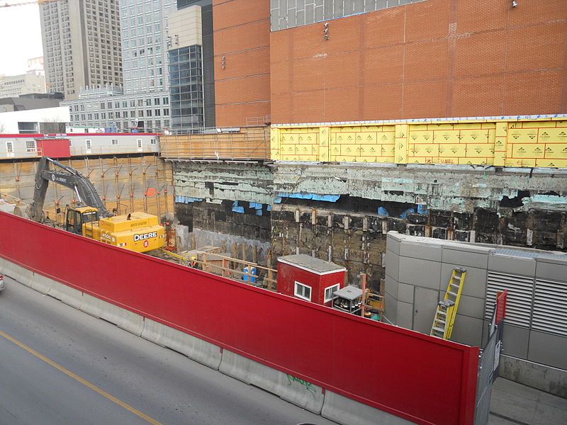
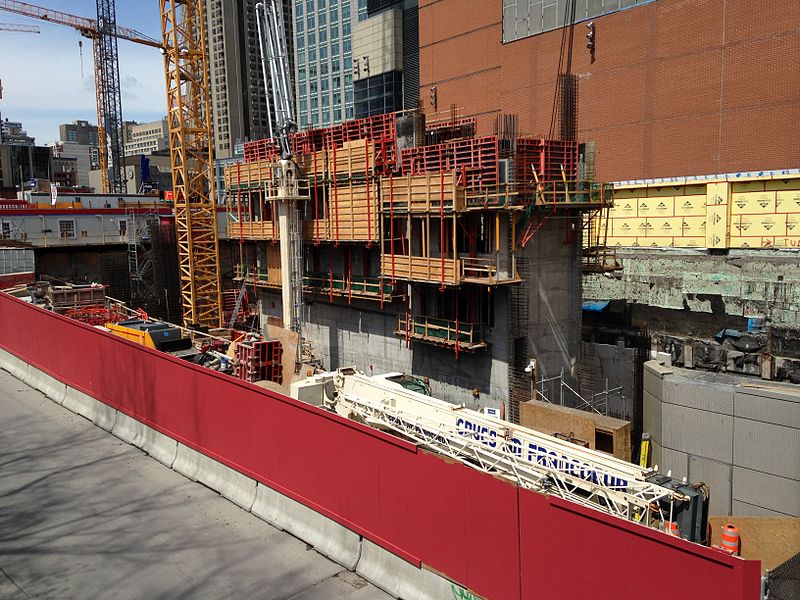
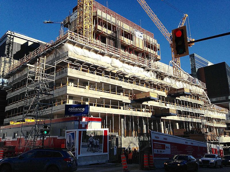
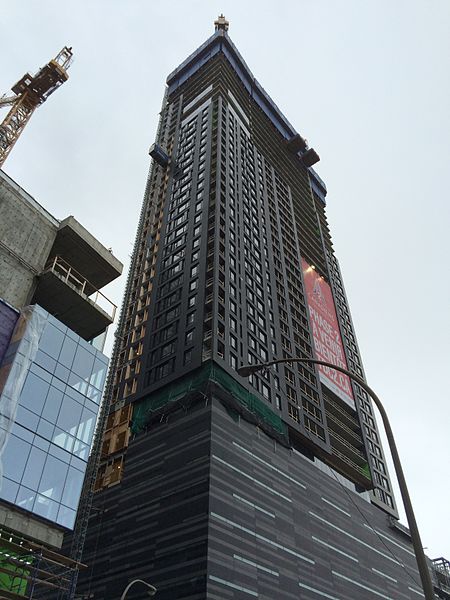
The Tour des Canadiens is a condominium skyscraper complex in Montreal, Quebec, Canada. It is situated next to the Bell Centre in downtown Montreal, at Avenue des Canadiens-de-Montréal and Rue de la Montagne, and is named for the Montreal Canadiens hockey team, which is a part-owner of the project. ()
Completed: 2016Height: 548 ftFloors: 50Coordinates: 45°30'9"N, 73°34'6"W
Day trips
Tour des Canadiens – popular in the area (distance from the attraction)
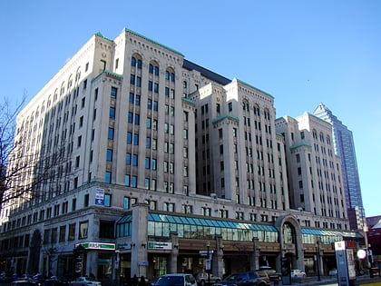
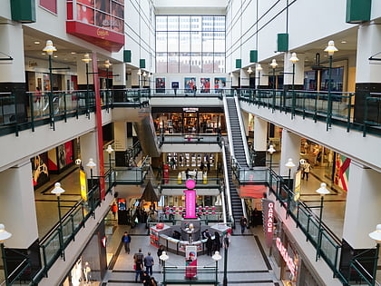
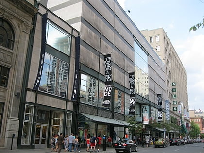
Nearby attractions include: Dominion Square Building, Place Ville Marie, Mary, Montreal Eaton Centre.
Frequently Asked Questions (FAQ)
Which popular attractions are close to Tour des Canadiens?
Nearby attractions include Altitude Montreal, Montreal (1 min walk), Tom Condos, Montreal (1 min walk), Edward VII Monument, Montreal (3 min walk), Le Port-Royal Apartments, Montreal (3 min walk).
How to get to Tour des Canadiens by public transport?
The nearest stations to Tour des Canadiens:
Bus
Train
Metro
Bus
- Robert-Bourassa / René-Lévesque • Lines: 168-N, 35-E, 61-E (1 min walk)
- René-Lévesque / Robert-Bourassa • Lines: 150-O, 427-O (2 min walk)
Train
- Montreal Central Station (5 min walk)
- Lucien-L'Allier (16 min walk)
Metro
- McGill • Lines: 1 (5 min walk)
- Square-Victoria-OACI • Lines: 2 (7 min walk)



 Metro
Metro