Cascumpeque Light, Prince Edward Island
Map

Map

Facts and practical information
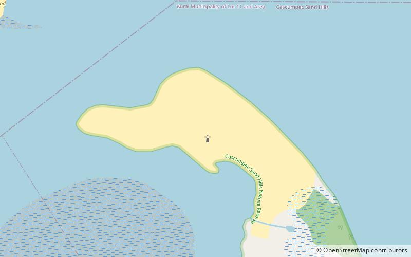
The Cascumpeque Light is a deactivated lighthouse on the western north coast of Prince Edward Island, Canada. The station was established in 1856 and the lighthouse itself was built in 1899. ()
Coordinates: 46°47'56"N, 64°2'13"W
Address
Prince Edward Island
ContactAdd
Social media
Add
Day trips
Cascumpeque Light – popular in the area (distance from the attraction)
Nearby attractions include: Jacques Cartier Provincial Park, Northport Range Lights, Mill River Provincial Park, Holy Trinity Anglican Church.


