Cedar Lake, Algonquin Provincial Park

Map
Facts and practical information
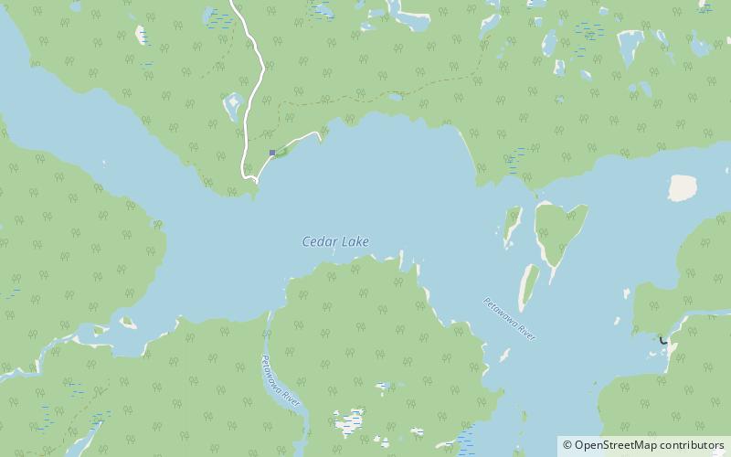
Cedar Lake is a lake in the geographic townships of Boyd, Deacon and Lister in the Unorganized south part of Nipissing District in northeastern Ontario, Canada. The lake is in the Saint Lawrence River drainage basin and is entirely within Algonquin Provincial Park; it is a popular entry point for canoe trips into the interior of the park as the community of Brent, located on the lake, is connected by Brent Road to Ontario Highway 17. Other places on the lake are Acanthus and Government Park. ()
Alternative names: Length: 7.83 miWidth: 3.6 miElevation: 1024 ft a.s.l.Coordinates: 46°1'11"N, 78°27'57"W
Address
Algonquin Provincial Park
ContactAdd
Social media
Add