Mount Kerkeslin, Jasper National Park
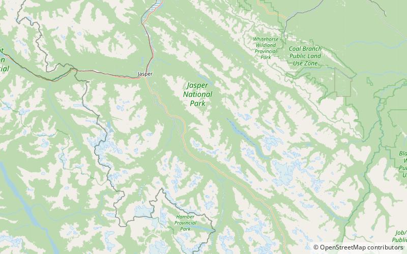
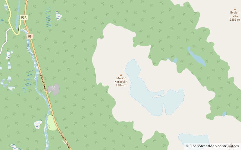
Map
Map

Facts and practical information
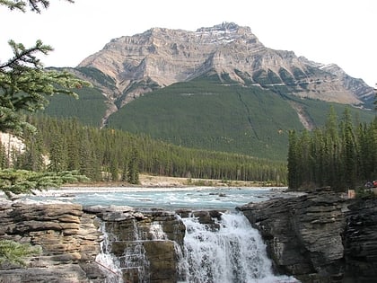
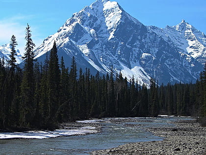
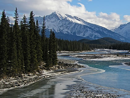
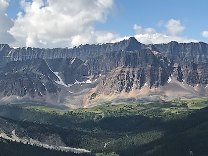
Mount Kerkeslin is a 2,956 m mountain summit located in the Athabasca River valley of Jasper National Park, in the Canadian Rockies of Alberta, Canada. It is the highest peak of the Maligne Range. It is located in the south part of the Maligne Range, east of the Icefields Parkway and is visible from the Athabasca Falls lookout. Mount Kerkeslin is composed of sedimentary rock laid down during the Cambrian period and pushed east and over the top of younger rock during the Laramide orogeny. ()
First ascent: 1926Elevation: 9698 ftProminence: 2395 ftCoordinates: 52°38'56"N, 117°49'37"W
Address
Jasper National Park
ContactAdd
Social media
Add
Day trips
Mount Kerkeslin – popular in the area (distance from the attraction)
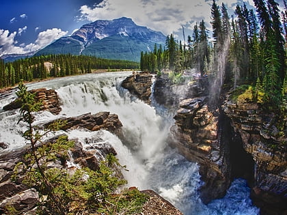
Nearby attractions include: Athabasca Falls, Geraldine Peak, Mount Hardisty, Evelyn Peak.
