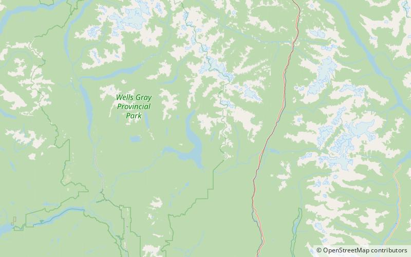
Murtle Lake, Wells Gray Provincial Park
Map

Map

Facts and practical information
Murtle Lake is a lava dammed lake located in Wells Gray Provincial Park, east-central British Columbia, Canada. It is fed primarily by the Murtle River which rises from a large unnamed glacier in the Cariboo Mountains at an elevation of 2,300 m and flows southwest for 18 km to the lake. The Murtle River also drains Murtle Lake then flows southwest for 36 km into the Clearwater River. ()
Alternative names: Area: 29.34 mi²Length: 18.64 miWidth: 3281 ftMaximum depth: 984 ftElevation: 5072 ft a.s.l.Coordinates: 52°8'43"N, 119°40'55"W
Address
Wells Gray Provincial Park
ContactAdd
Social media
Add
Day trips
Murtle Lake – popular in the area (distance from the attraction)
Nearby attractions include: Wavy Range.

