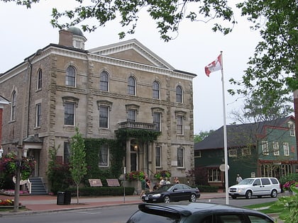
St. Mark's Anglican Church, Niagara-on-the-Lake
Map
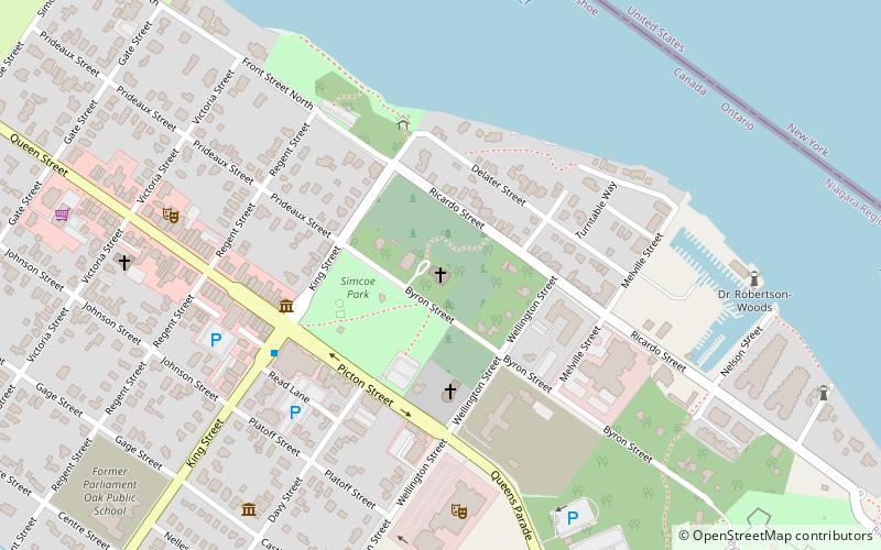
Map

Facts and practical information
St. Mark's Anglican Church (address: Byron Street) is a place located in Niagara-on-the-Lake (Ontario province) and belongs to the category of church.
It is situated at an altitude of 262 feet, and its geographical coordinates are 43°15'20"N latitude and 79°4'4"W longitude.
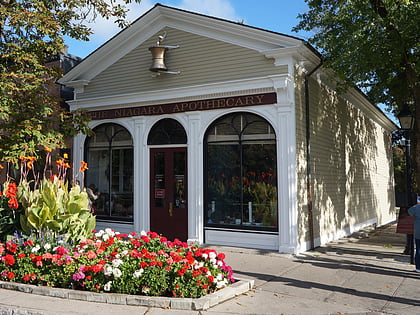
Among other places and attractions worth visiting in the area are: Niagara Apothecary (museum, 4 min walk), Court House Theatre (theater, 6 min walk), Niagara Pumphouse (museum, 10 min walk).
Coordinates: 43°15'20"N, 79°4'4"W
Day trips
St. Mark's Anglican Church – popular in the area (distance from the attraction)
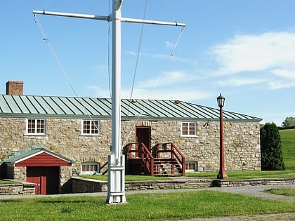
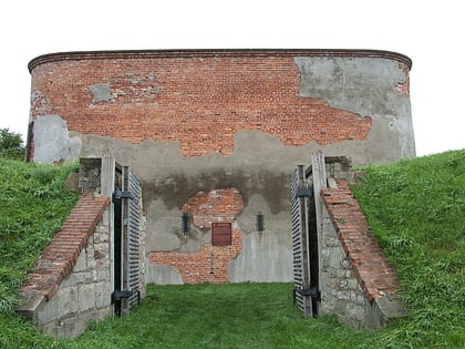
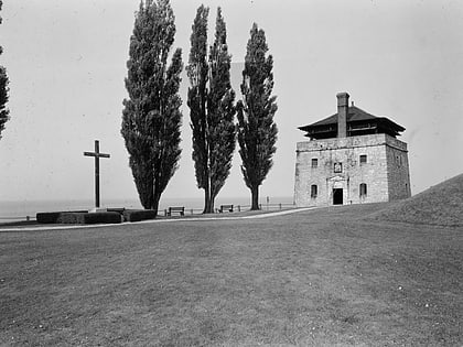
Nearby attractions include: Niagara Apothecary, Fort George, Navy Hall, Fort Mississauga.
Frequently Asked Questions (FAQ)
Which popular attractions are close to St. Mark's Anglican Church?
Nearby attractions include Niagara Apothecary, Niagara-on-the-Lake (4 min walk), Court House Theatre, Niagara-on-the-Lake (6 min walk), Niagara Pumphouse, Niagara-on-the-Lake (10 min walk), Fort George, Niagara-on-the-Lake (13 min walk).

