Fort Amherstburg, Amherstburg

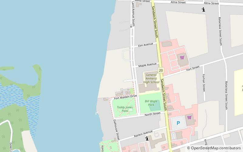
Map
Facts and practical information
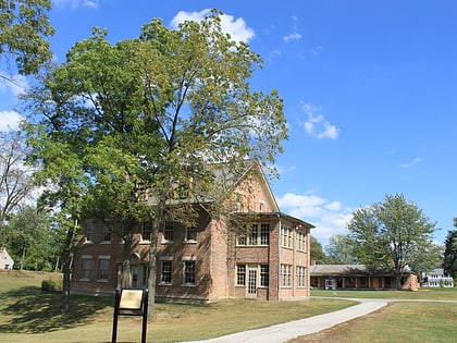
Fort Amherstburg was built by the Royal Canadian Volunteers at the mouth of the Detroit River to replace Fort Detroit, which Britain was required to cede to the United States of America in 1796 as a result of the Jay Treaty. ()
Built: 1796 (230 years ago)Coordinates: 42°6'25"N, 83°6'47"W
Address
Amherstburg
ContactAdd
Social media
Add
Day trips
Fort Amherstburg – popular in the area (distance from the attraction)
Nearby attractions include: Boblo Island Amusement Park, Fort Malden, Amherstburg Freedom Museum, Amherstburg First Baptist Church.
Frequently Asked Questions (FAQ)
Which popular attractions are close to Fort Amherstburg?
Nearby attractions include Fort Malden, Amherstburg (1 min walk), Park House Museum, Amherstburg (6 min walk), Gibson Gallery, Amherstburg (9 min walk), Amherstburg First Baptist Church, Amherstburg (13 min walk).


