Downtown Halifax Link, Halifax
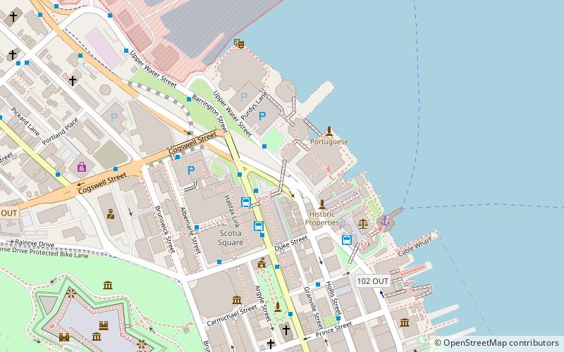
Map

Map

Facts and practical information
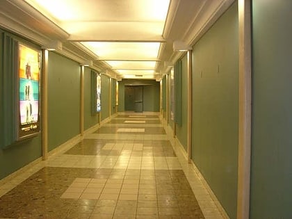
The Downtown Halifax Link system is similar to Toronto's PATH or Montreal's RÉSO system, but on a much smaller scale. It consists of a network of climate-controlled pedways connecting various office buildings, hotels, parkades, and entertainment venues around downtown Halifax, Nova Scotia, Canada. These walkways are all open to the public, and are convenient during inclement weather and the winter months. ()
Coordinates: 44°39'3"N, 63°34'29"W
Address
South End (Downtown Halifax)Halifax
ContactAdd
Social media
Add
Day trips
Downtown Halifax Link – popular in the area (distance from the attraction)
Nearby attractions include: Halifax Town Clock, Maritime Museum of the Atlantic, St. Paul's Church, Scotia Square.
Frequently Asked Questions (FAQ)
Which popular attractions are close to Downtown Halifax Link?
Nearby attractions include Anna Leonowens Gallery, Halifax (2 min walk), Historic Properties, Halifax (3 min walk), Purdy's Wharf, Halifax (3 min walk), Halifax City Hall, Halifax (4 min walk).
How to get to Downtown Halifax Link by public transport?
The nearest stations to Downtown Halifax Link:
Bus
Train
Bus
- 6087 - Barrington St After Duke St • Lines: 10, 194, 80, 81 (2 min walk)
- 8412 - Upper Water St Before Purdys Ln • Lines: 82 (2 min walk)
Train
- Halifax (22 min walk)


