United States Range, Quttinirpaaq National Park

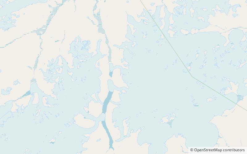
Map
Facts and practical information
The United States Range is one of the northernmost mountain ranges of the Arctic Cordillera and in the world, surpassed only by the Challenger Mountains to the northwest. The range is located in the northeastern region of Ellesmere Island in Nunavut, Canada, and is part of the Innuitian Mountains. The highest mountain in the range is Mount Eugene with an elevation of 1,860 metres. The British Empire Range is immediately to the west of the United States Range. ()
Alternative names: Area: 5413.91 mi²Maximum elevation: 6102 ftElevation: 6102 ftCoordinates: 82°25'0"N, 68°0'0"W
Address
Quttinirpaaq National Park
ContactAdd
Social media
Add
Day trips
United States Range – popular in the area (distance from the attraction)
Nearby attractions include: Piper Pass.
