Seaway International Bridge, Cornwall
Map

Map

Facts and practical information
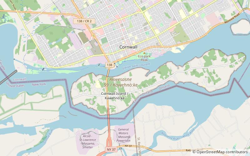
The Seaway International Bridge is an international crossing connecting New York State, in the United States, Akwesasne Mohawk Territory and the province of Ontario in Canada. It consists of the South and North Channel Bridges. The South Channel Bridge was opened in 1958, and spans the St. Lawrence Seaway. The North Channel Bridge, opened in 2014, connects the City of Cornwall in Ontario to Cornwall Island in Akwesasne Mohawk Territory. ()
Opened: 2014 (12 years ago)Length: 5420 ftWidth: 27 ftCoordinates: 45°0'0"N, 74°44'24"W
Address
Cornwall IslandCornwall
ContactAdd
Social media
Add
Day trips
Seaway International Bridge – popular in the area (distance from the attraction)
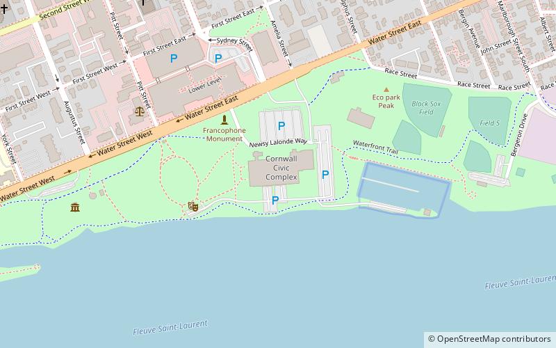
Nearby attractions include: Cornwall Square, Cornwall Island, Cornwall Civic Complex, Si Miller Arena.


