Lajoie Dam, Bridge River Valley

Map
Facts and practical information
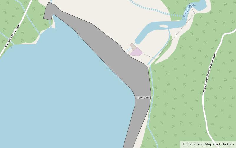
Lajoie Dam is the uppermost of the storage dams of BC Hydro's Bridge River Power Project, which is located in the southwestern Interior of British Columbia. It is located just west of the small semi-ghost town of Gold Bridge. An earthfill structure, it is 87 m and impounds c. 570,000 acre-feet of water in Downton Lake Reservoir. The Lajoie Powerhouse generates 22 MW with an average generating capacity of 170 GWh/year. A few miles downstream is Carpenter Lake, which is formed by Terzaghi Dam, the largest of the Bridge River Power Project's structures. ()
Coordinates: 50°50'18"N, 122°51'25"W
Address
Bridge River Valley
ContactAdd
Social media
Add
Day trips
Lajoie Dam – popular in the area (distance from the attraction)
Nearby attractions include: Lajoie Lake.
