Sinclair Pass, Kootenay National Park

Gallery (1)
Map
Map
Facts and practical information
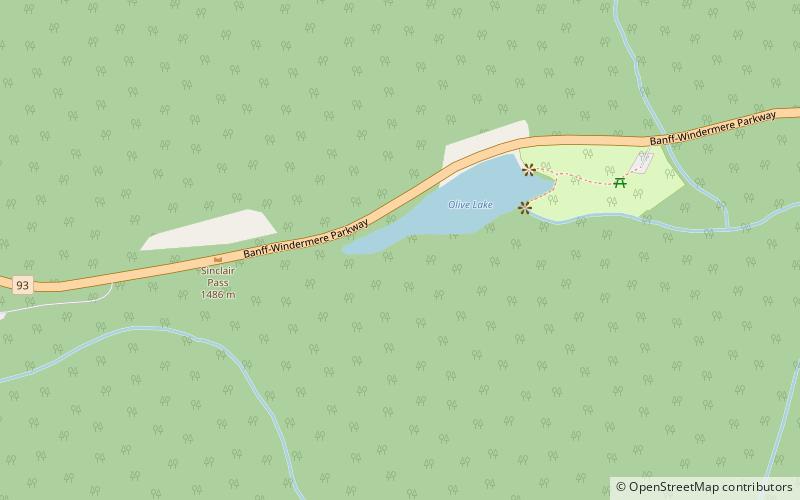
Sinclair Pass is a high mountain pass in Kootenay National Park between the Columbia and Kootenay Rivers to the northeast of present-day Radium Hot Springs in the province of British Columbia, Canada. ()
Maximum elevation: 4875 ftCoordinates: 50°40'24"N, 115°56'10"W
Address
Kootenay National Park
ContactAdd
Social media
Add