Guelph Lake, Guelph

Gallery (4)
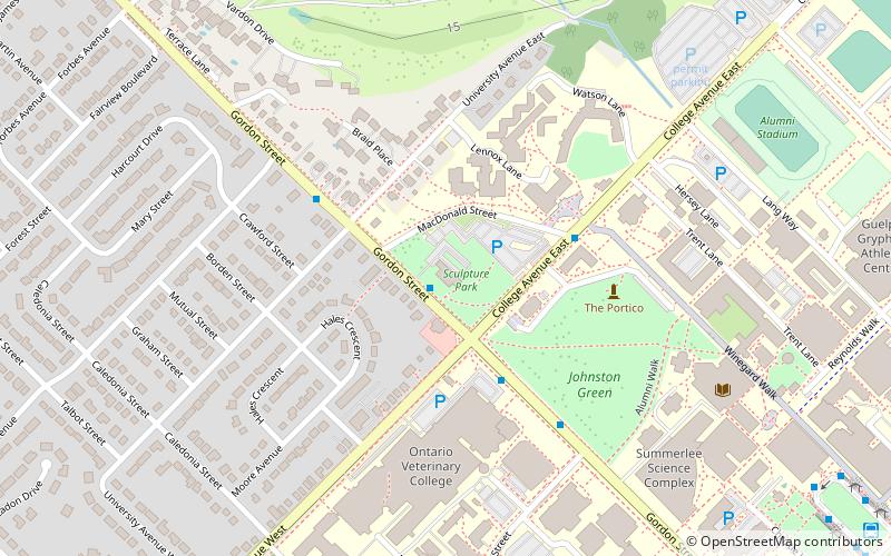
Map

Map
Gallery
Facts and practical information
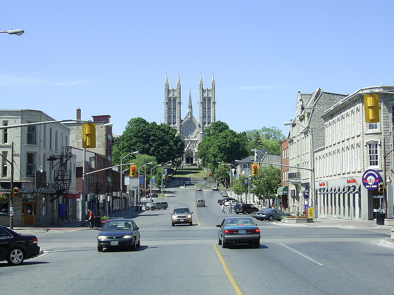
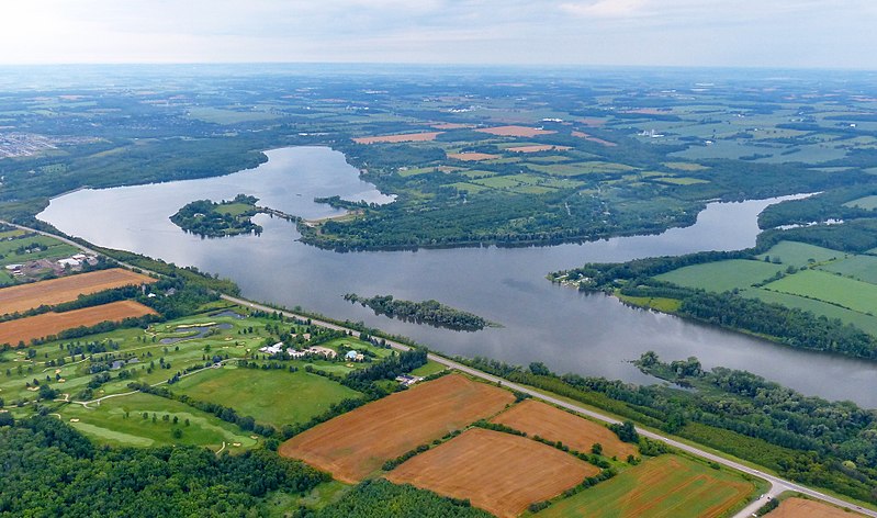
Guelph Lake is a man-made reservoir on the Speed River, in the Township of Guelph/Eramosa. It is located upriver and slightly northeast of the city of Guelph, Ontario. The reservoir was created in 1974, with the construction of the Guelph Lake dam. The site is part of a 1,608 hectare conservation area maintained by the Grand River Conservation Authority. ()
Elevation: 1152 ft a.s.l.Coordinates: 43°36'8"N, 80°14'43"W
Address
Rural Guelph-EramosaGuelph
ContactAdd
Social media
Add
Day trips