Bow River pathway, Calgary
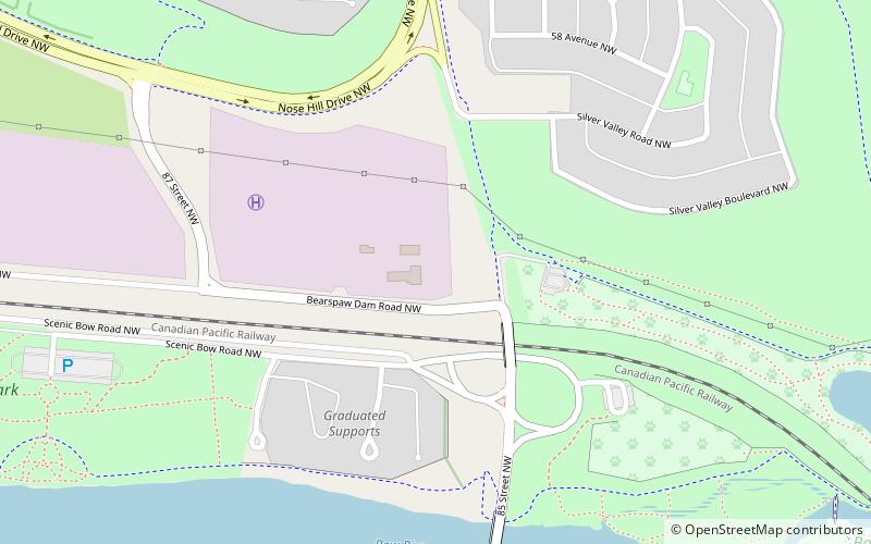
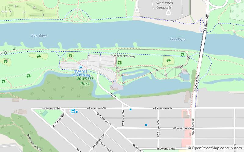
Map
Gallery
Facts and practical information
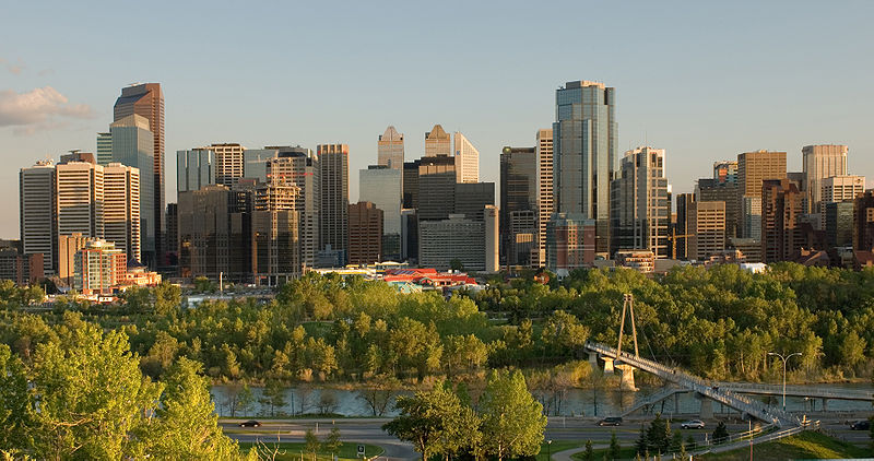
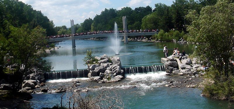
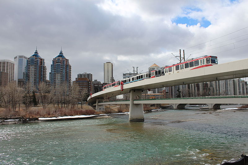
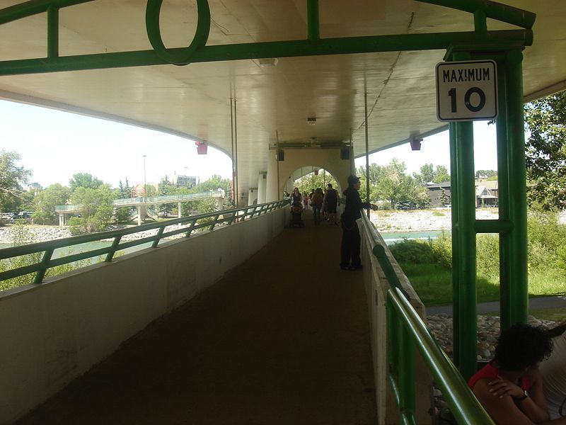
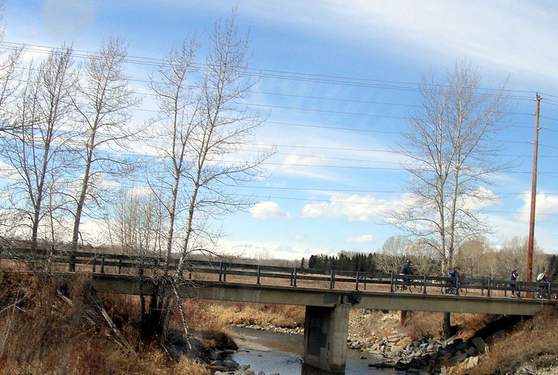
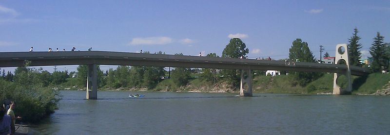
The Bow River pathway is a pathway system developed along the banks of the Bow River in the city of Calgary. It contains a network of pedestrian and bicycle paths connecting parks on both sides of the river. ()
Elevation: 3537 ft a.s.l.Coordinates: 51°6'3"N, 114°14'13"W
Address
Northwest CalgaryCalgary
ContactAdd
Social media
Add
Day trips
Bow River pathway – popular in the area (distance from the attraction)
Nearby attractions include: Canada's Sports Hall of Fame, Bowmont Park, Lynx Ridge Golf Club, Bowness Park.
Frequently Asked Questions (FAQ)
Which popular attractions are close to Bow River pathway?
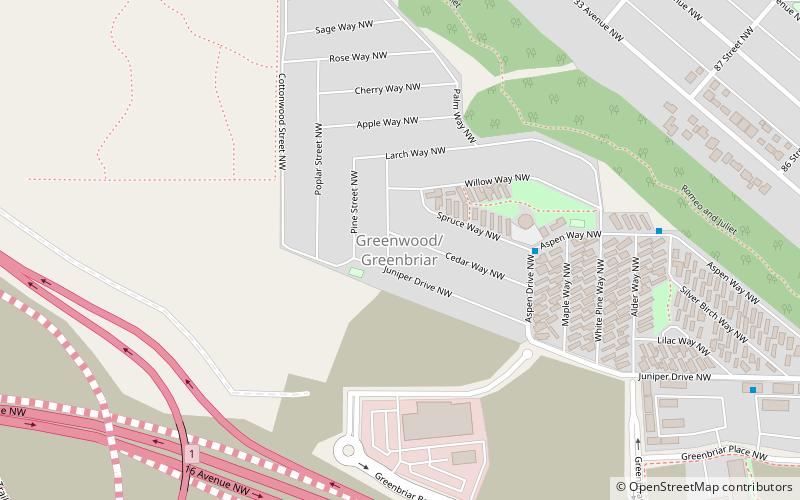
Nearby attractions include Bowness Park, Calgary (20 min walk), Greenwood/Greenbriar, Calgary (24 min walk).
How to get to Bow River pathway by public transport?
The nearest stations to Bow River pathway:
Bus
Bus
- Bowness (22 min walk)


