Lake Hazen, Quttinirpaaq National Park
Map

Map

Facts and practical information
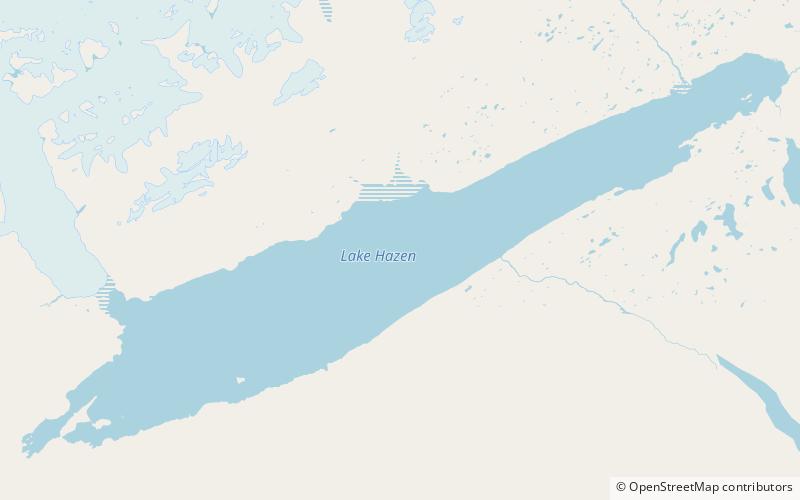
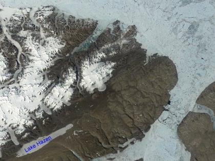
Lake Hazen is often called the northernmost lake of Canada, in the northern part of Ellesmere Island, Nunavut, but detailed maps show several smaller lakes up to more than 100 km farther north on Canada's northernmost island. Turnabout Lake is immediately northeast of the northern end of Lake Hazen. Still further north are the Upper and Lower Dumbell Lakes, with Upper Dumbell Lake 5.2 km southwest of Alert, Canada's northernmost settlement on the coast of Lincoln Sea, Arctic Ocean. ()
Alternative names: Area: 209.27 mi²Length: 45.98 miWidth: 7.46 miMaximum depth: 876 ftElevation: 1391 ft a.s.l.Coordinates: 81°48'0"N, 71°0'0"W
Address
Quttinirpaaq National Park
ContactAdd
Social media
Add
